Photo corners
Chiswick Bridge
London, United Kingdom
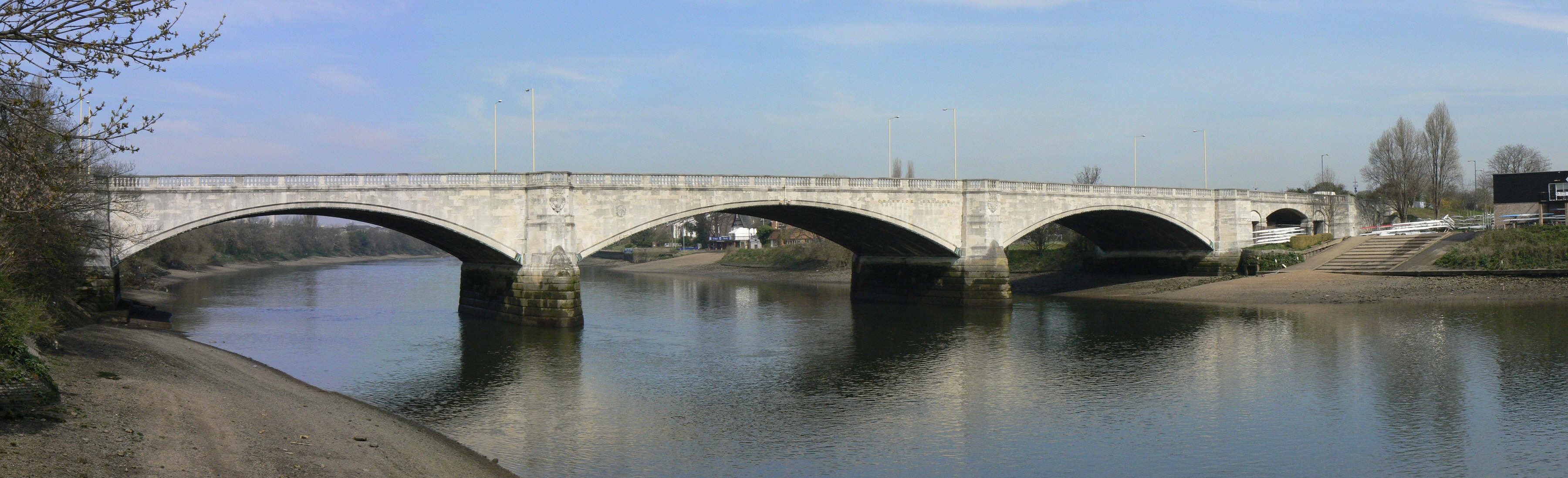
Chiswick Bridge is a reinforced concrete deck arch bridge over the River Thames in West London. It is one of three bridges opened in 1933 as part of an ambitious scheme to relieve traffic congestion west of London. The structure carries the A316 road between Chiswick on the north bank of the Thames and Mortlake on the south bank. The bridge is built on the site of a former ferry. It is 606 feet (185 m) long and faced with 3,400 tons of Portland stone. When the 150-foot (46 m) central span opened it was the longest concrete span over the Thames. The bridge is well known for its proximity to the end of The Championship Course, the stretch of the Thames used for the Boat Race and other rowing events.
- Category
- Photo Spots
- Location
- London, United Kingdom
- Coordinates
- 51.47312, -0.26982
- How to get there
- Google MapsApple MapsOpenStreetMap
- Wikidata
- Q1074863
What is Chiswick Bridge?
Chiswick Bridge is a Photo Spots place on VeroMaps. Other places close by: Barnes Railway Bridge, The Bull's Head, Bull's Head, Sun Inn.
Where is Chiswick Bridge?
Chiswick Bridge is in London, United Kingdom. Coordinates: 51.47312, -0.26982.
How do I get to Chiswick Bridge?
Chiswick Bridge is at London, United Kingdom (51.47312, -0.26982). Enter these coordinates in Google Maps, Apple Maps or OpenStreetMap for walking, cycling or driving directions.