Photo corners
Chettisham Meadow
Cambridge, United Kingdom
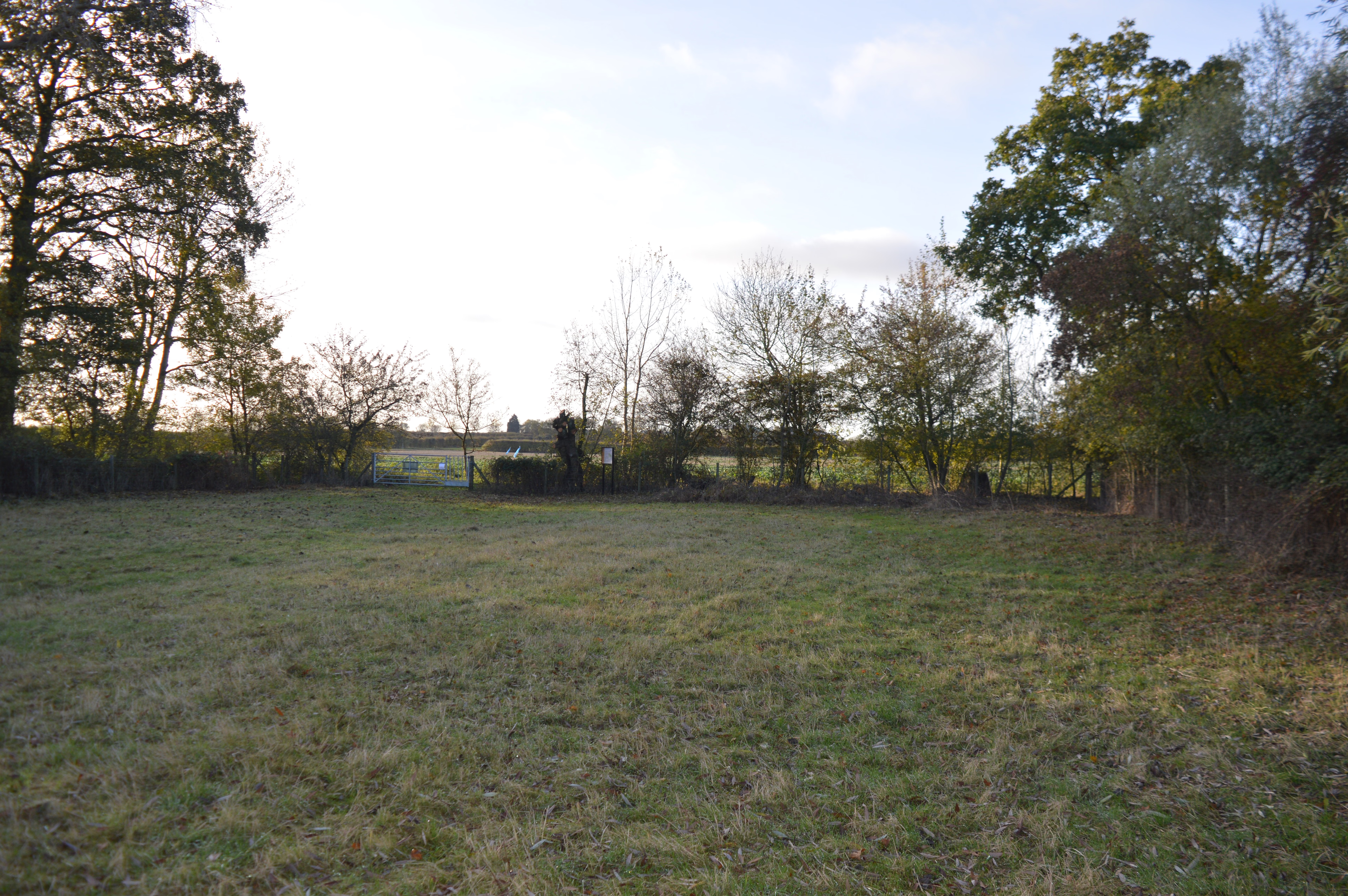
Chettisham Meadow is a 0.7-hectare (1.7-acre) biological Site of Special Scientific Interest west of Chettisham, 3 km (2 mi) north of Ely in Cambridgeshire. It is managed by the Wildlife Trust for Bedfordshire, Cambridgeshire and Northamptonshire. The site is grassland on calcareous clay, and evidence survives of ridge and furrow medieval farming. Flowering plants include adder's tongue, cowslip and the uncommon green-winged orchid. There is access from Church Farm on the road called The Hamlet, by a track which crosses the A10, and curves to meet the track called The Balk. A footpath from the point where the two tracks meet leads to the reserve entrance.
- Category
- Photo Spots
- Location
- Cambridge, United Kingdom
- Coordinates
- 52.42370, 0.26408
- How to get there
- Google MapsApple MapsOpenStreetMap
- Wikidata
- Q5094208
What is Chettisham Meadow?
Chettisham Meadow is a Photo Spots place on VeroMaps. Other places close by: Roswell Pits, Doghouse Grove, Ouse Washes, Wicken Fen.
Where is Chettisham Meadow?
Chettisham Meadow is in Cambridge, United Kingdom. Coordinates: 52.42370, 0.26408.
How do I get to Chettisham Meadow?
Chettisham Meadow is at Cambridge, United Kingdom (52.42370, 0.26408). Enter these coordinates in Google Maps, Apple Maps or OpenStreetMap for walking, cycling or driving directions.