Forgotten History
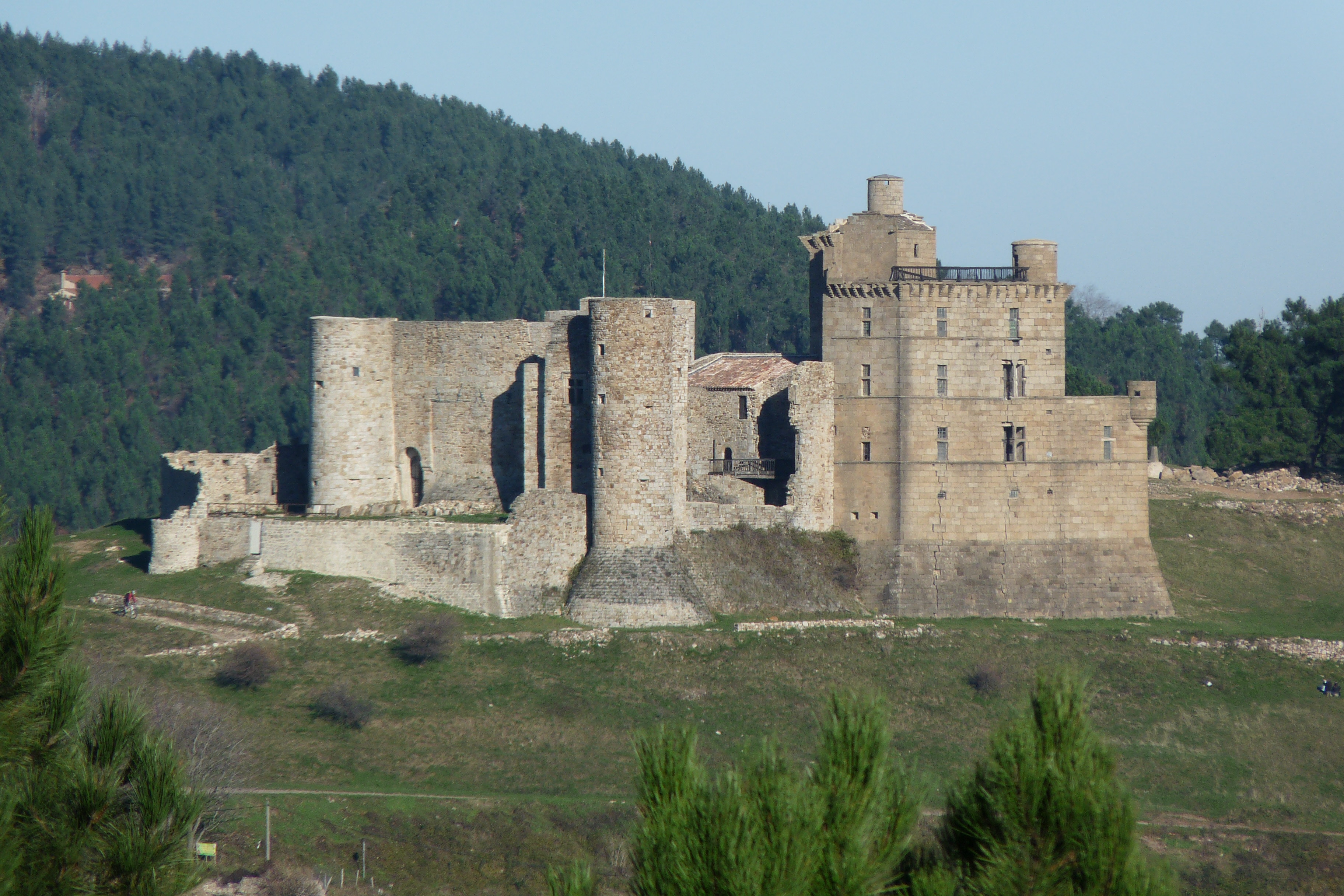
Château de Portes
Portes, France
The Château de Portes is a castle located in the commune of Portes in the Gard département of France. It overlooks the Regordane, an ancient avenue used by the pilgrims of Saint-Giles and the Croisés on their way towards the Holy Land for a distance of ten miles. The Anduze, Randon and Polignac families paid homage to the abbot of Saint-Pierre-de-Sauve for this castle between the 11th and the 14th centuries. The castle is listed as a monument historique by the French Ministry of Culture.
- Category
- Forgotten History
- Location
- Portes, France
- Coordinates
- 44.26807, 4.02739
- How to get there
- Google MapsApple MapsOpenStreetMap
- Wikidata
- Q2412975
What is Château de Portes?
Château de Portes is a Forgotten History place on VeroMaps. Other places close by: Château de Montalet, Ethnobotanical gardens of Gardie, Mine témoin d'Alès, Town hall of Alès.
Where is Château de Portes?
Château de Portes is in Portes, France. Coordinates: 44.26807, 4.02739.
How do I get to Château de Portes?
Château de Portes is at Portes, France (44.26807, 4.02739). Enter these coordinates in Google Maps, Apple Maps or OpenStreetMap for walking, cycling or driving directions.