Forgotten History
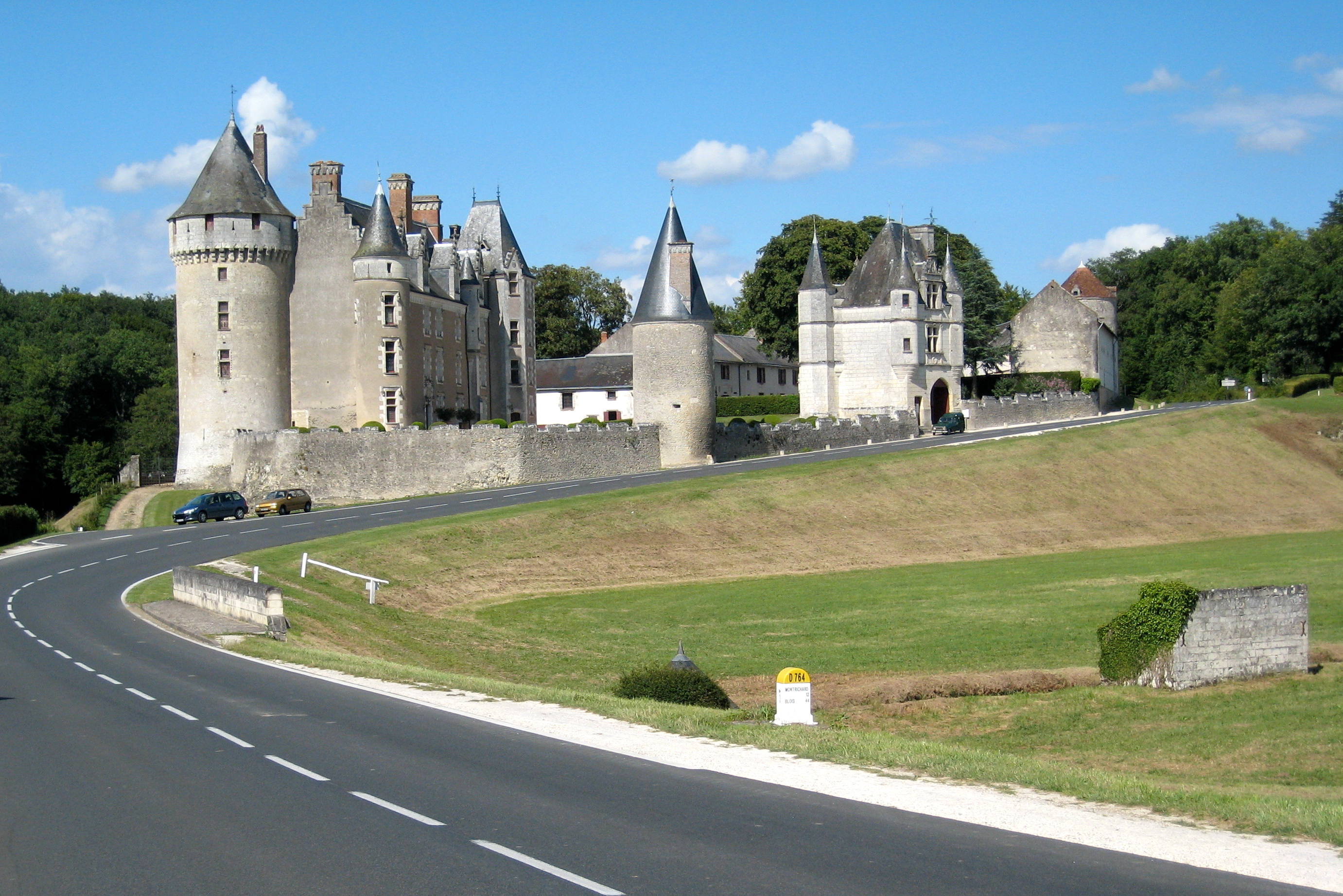
Château de Montpoupon
Saint-Georges-sur-Cher, France
The Château de Montpoupon is a castle in the commune of Céré-la-Ronde in the Indre-et-Loire département of France. It is located to the east of Tours, 10 km south of Montrichard in a forested valley.
- Category
- Forgotten History
- Location
- Saint-Georges-sur-Cher, France
- Coordinates
- 47.25306, 1.14111
- How to get there
- Google MapsApple MapsOpenStreetMap
- Wikidata
- Q769365
What is Château de Montpoupon?
Château de Montpoupon is a Forgotten History place on VeroMaps. Other places close by: Château de Montrichard, Chapelle de Seigne, Chapelle de Vignemont, Château de Loches.
Where is Château de Montpoupon?
Château de Montpoupon is in Saint-Georges-sur-Cher, France. Coordinates: 47.25306, 1.14111.
How do I get to Château de Montpoupon?
Château de Montpoupon is at Saint-Georges-sur-Cher, France (47.25306, 1.14111). Enter these coordinates in Google Maps, Apple Maps or OpenStreetMap for walking, cycling or driving directions.