Forgotten History
Château de Montgilbert
Le Mayet-de-Montagne, France
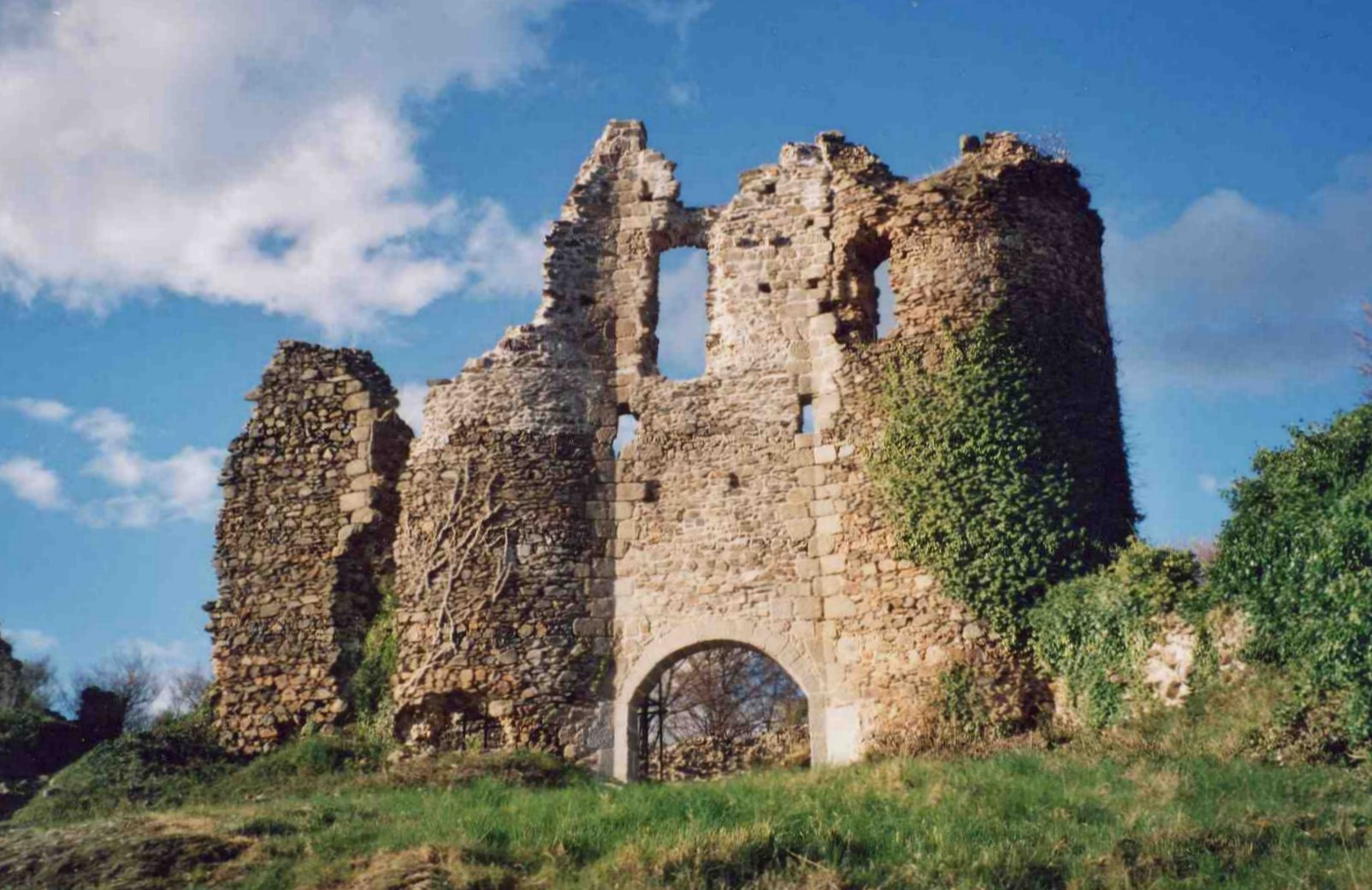
The Château de Montgilbert is a ruined medieval fortress located in the commune of Ferrières-sur-Sichon, 25 km to the south-east of Vichy in the Allier département of France.
- Category
- Forgotten History
- Location
- Le Mayet-de-Montagne, France
- Coordinates
- 46.03853, 3.62353
- How to get there
- Google MapsApple MapsOpenStreetMap
- Wikidata
- Q164901
What is Château de Montgilbert?
Château de Montgilbert is a Forgotten History place on VeroMaps. Other places close by: Château de Chappes, Arboretum Paul Barge, Château de Busset, Parc floral et arboré de la Chènevière.
Where is Château de Montgilbert?
Château de Montgilbert is in Le Mayet-de-Montagne, France. Coordinates: 46.03853, 3.62353.
How do I get to Château de Montgilbert?
Château de Montgilbert is at Le Mayet-de-Montagne, France (46.03853, 3.62353). Enter these coordinates in Google Maps, Apple Maps or OpenStreetMap for walking, cycling or driving directions.