Forgotten History
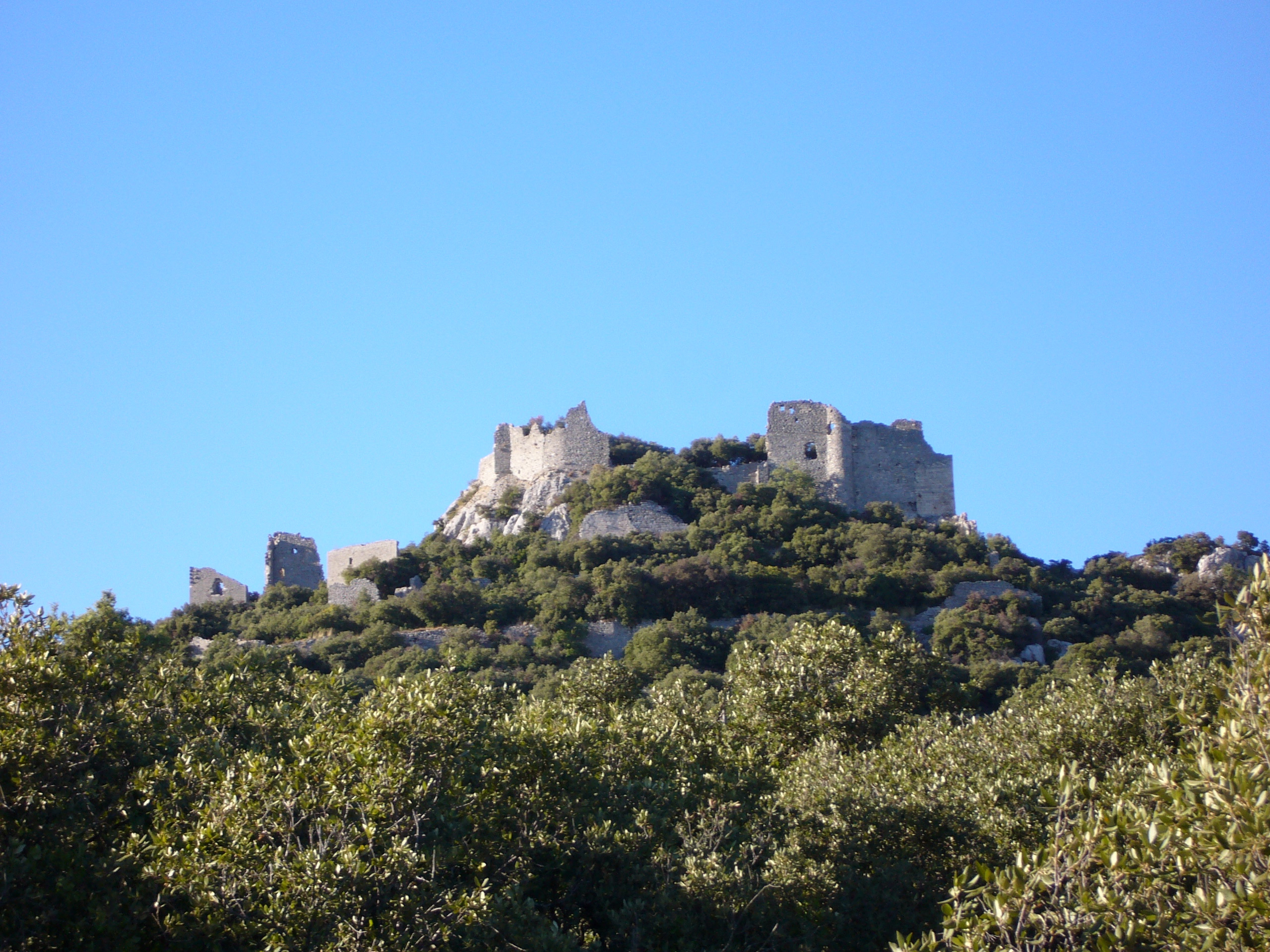
Château de Montferrand
Saint-Mathieu-de-Tréviers, France
The Château de Montferrand is a ruined medieval castle in the commune of Saint-Mathieu-de-Tréviers, in the Hérault department of southern France. It stands on a limestone spur on the eastern ridge of the Pic Saint-Loup, above the village. First documented in the early 12th century, it was a seat of the Counts of Melgueil and later belonged to the bishops of Maguelone. It has been classified as a monument historique since 2024.
- Category
- Forgotten History
- Location
- Saint-Mathieu-de-Tréviers, France
- Coordinates
- 43.77560, 3.84000
- How to get there
- Google MapsApple MapsOpenStreetMap
- Wikidata
- Q2969993
What is Château de Montferrand?
Château de Montferrand is a Forgotten History place on VeroMaps. Other places close by: Lamalou dolmen, Dolmen de Ferrières, Parc zoologique de Montpellier, Château de Brissac.
Where is Château de Montferrand?
Château de Montferrand is in Saint-Mathieu-de-Tréviers, France. Coordinates: 43.77560, 3.84000.
How do I get to Château de Montferrand?
Château de Montferrand is at Saint-Mathieu-de-Tréviers, France (43.77560, 3.84000). Enter these coordinates in Google Maps, Apple Maps or OpenStreetMap for walking, cycling or driving directions.