Forgotten History
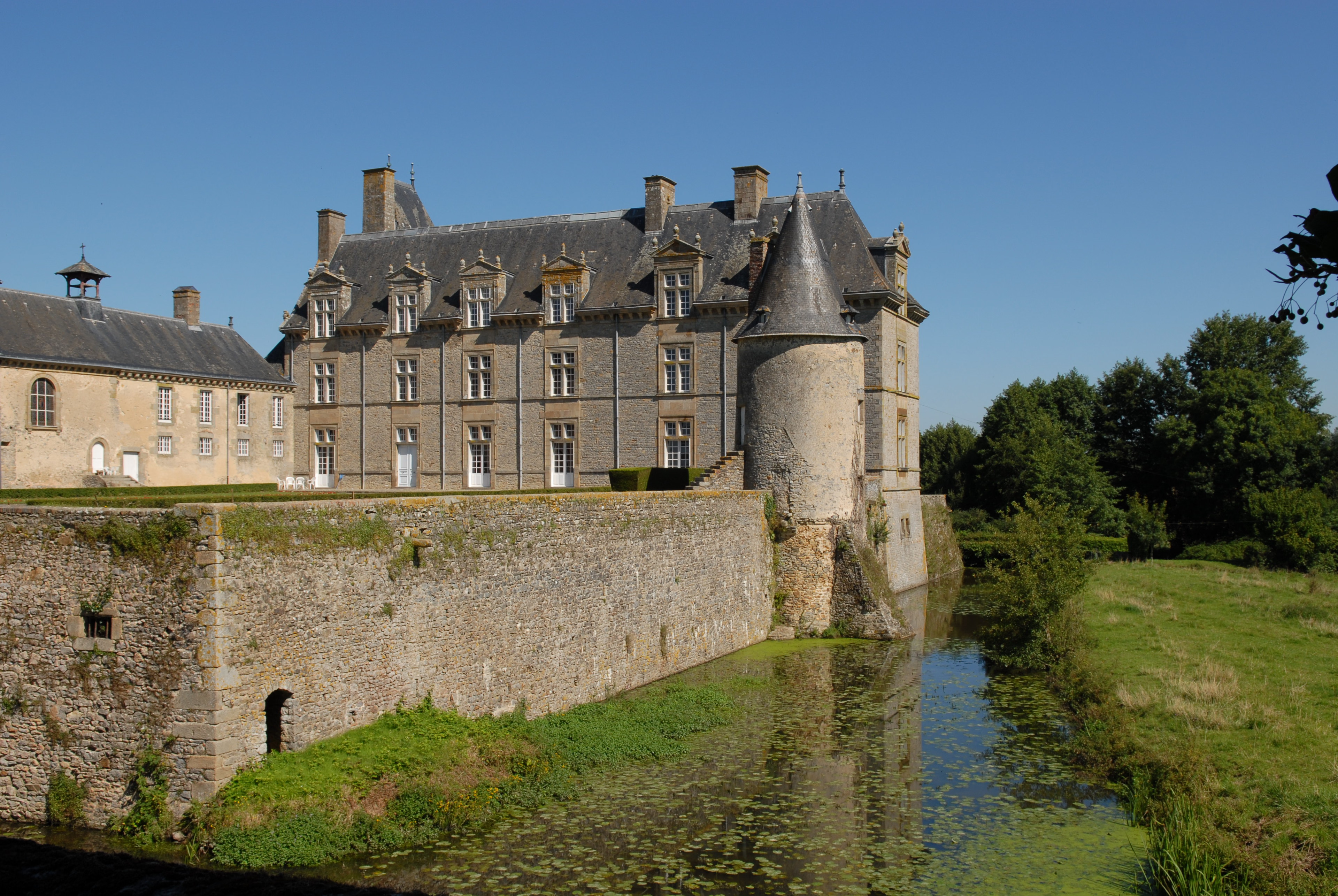
Château de Montecler
Châtres-la-Forêt, France
Montecler Castle is located in Évron, on the boundary between the delegated municipalities of Châtres-la-Forêt and Saint-Christophe-du-Luat, in the department of Mayenne. It was listed as a historic monument in 2011.
- Category
- Forgotten History
- Location
- Châtres-la-Forêt, France
- Coordinates
- 48.12690, -0.42972
- How to get there
- Google MapsApple MapsOpenStreetMap
- Wikidata
- Q2969979
What is Château de Montecler?
Château de Montecler is a Forgotten History place on VeroMaps. Other places close by: Les Erves dolmen, Dolmen des Îles, Arboretum de Montsûrs, Table des Diables.
Where is Château de Montecler?
Château de Montecler is in Châtres-la-Forêt, France. Coordinates: 48.12690, -0.42972.
How do I get to Château de Montecler?
Château de Montecler is at Châtres-la-Forêt, France (48.12690, -0.42972). Enter these coordinates in Google Maps, Apple Maps or OpenStreetMap for walking, cycling or driving directions.