Urbex & Abandoned
Château de Montaillou
Ax-les-Thermes, France
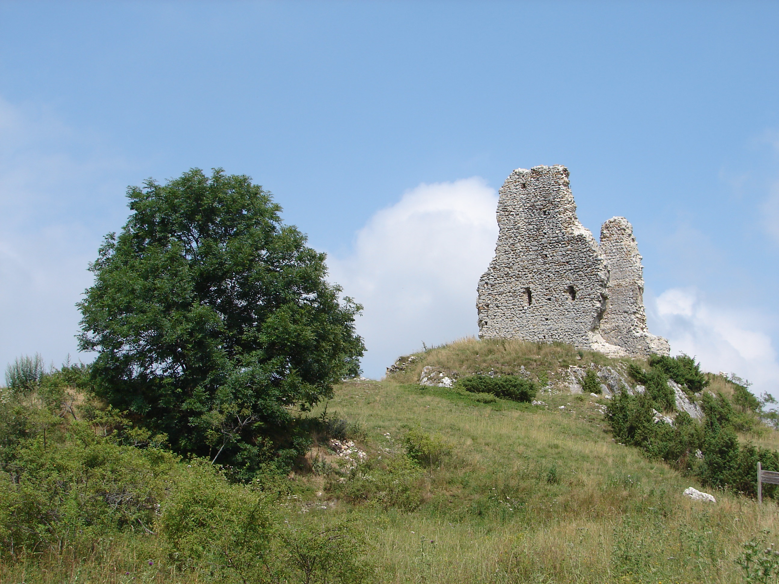
The Château de Montaillou is a ruined castle in the French village of Montaillou, in the Ariège département. The village of Montaillou, standing on the slope of Mount Allion, was made famous in Emmanuel Le Roy Ladurie's history, Montaillou, village occitan.
- Category
- Urbex & Abandoned
- Location
- Ax-les-Thermes, France
- Coordinates
- 42.78702, 1.89415
- How to get there
- Google MapsApple MapsOpenStreetMap
- Wikidata
- Q1013141
What is Château de Montaillou?
Château de Montaillou is a Urbex & Abandoned place on VeroMaps. Other places close by: Trimouns Talc Mine, Burg Niort-de-Sault, Château de Montségur, carrière de talc de Montferrier.
Where is Château de Montaillou?
Château de Montaillou is in Ax-les-Thermes, France. Coordinates: 42.78702, 1.89415.
How do I get to Château de Montaillou?
Château de Montaillou is at Ax-les-Thermes, France (42.78702, 1.89415). Enter these coordinates in Google Maps, Apple Maps or OpenStreetMap for walking, cycling or driving directions.