Forgotten History
Château de Largentière
Largentiere, France
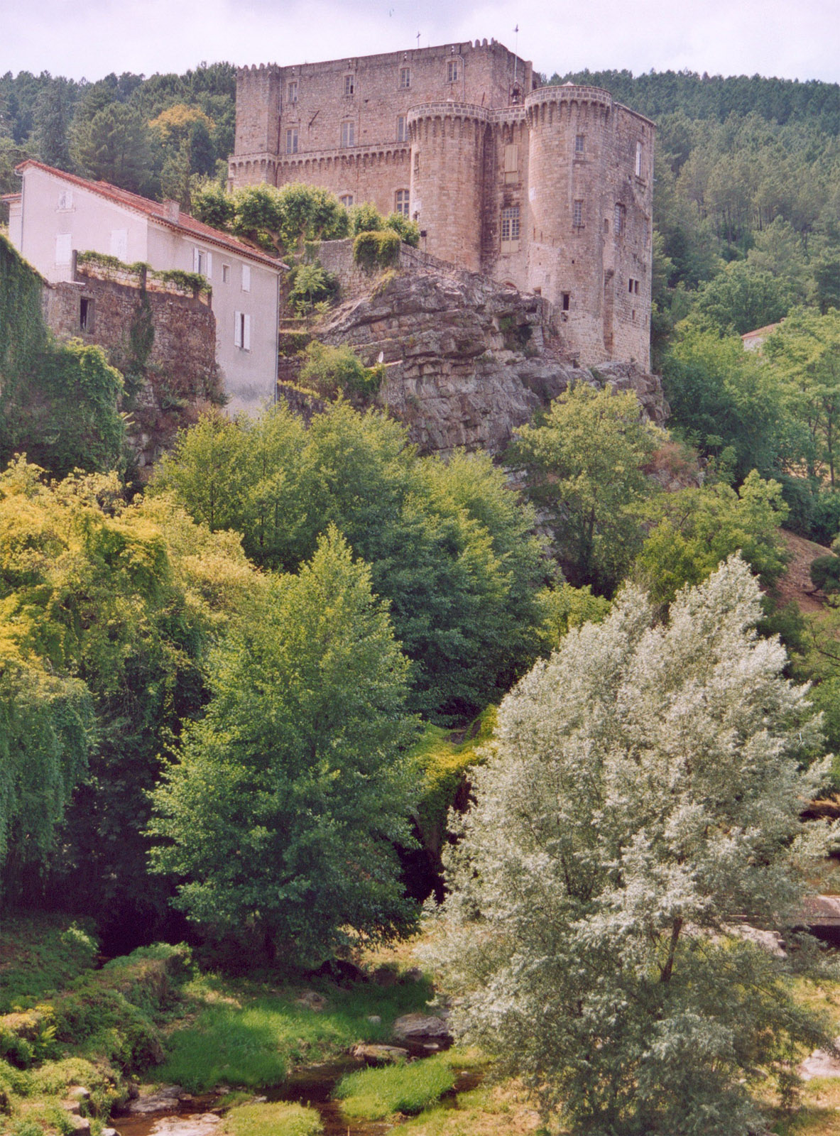
Die Burg Largentière (französisch Château de Largentière) erhebt sich am höchsten Punkt der einstigen Ringmauer von Largentière, einem Ort im französischen Département Ardèche. Die Burg diente im Mittelalter dazu, die Siedlung und eine nahe gelegene Silbermine zu schützen.
- Category
- Forgotten History
- Location
- Largentiere, France
- Coordinates
- 44.54374, 4.29159
- How to get there
- Google MapsApple MapsOpenStreetMap
- Wikidata
- Q2969655
What is Château de Largentière?
Château de Largentière is a Forgotten History place on VeroMaps. Other places close by: Château de Montréal, Chapelle Notre-Dame-du-Rhône de Ruoms, Chapelle Saint-Benoît d'Aubenas, Castel of Rochecolombe.
Where is Château de Largentière?
Château de Largentière is in Largentiere, France. Coordinates: 44.54374, 4.29159.
How do I get to Château de Largentière?
Château de Largentière is at Largentiere, France (44.54374, 4.29159). Enter these coordinates in Google Maps, Apple Maps or OpenStreetMap for walking, cycling or driving directions.