Urbex & Abandoned
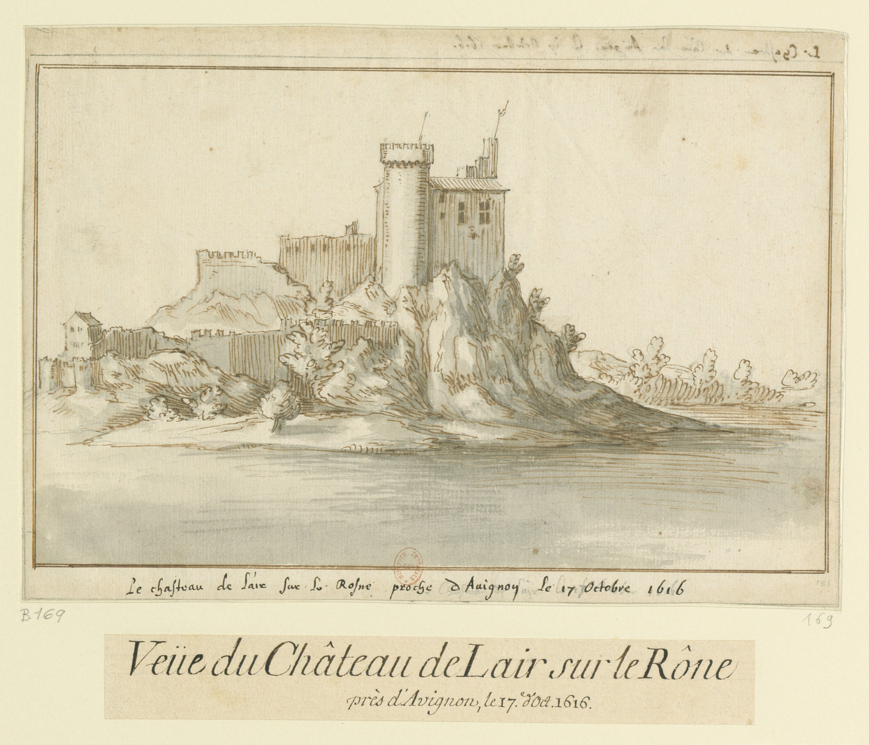
Château de l'Hers
l'Hers, France
The origins of the Château de l'Hers, in Châteauneuf-du-Pape on the banks of the Rhône, go back to the beginning of the 10th century. Until the French Revolution it was an enclave of Languedoc in the Comtat Venaissin. Protected as a historic monument since 1973, it has given its name to a winery.
- Category
- Urbex & Abandoned
- Location
- l'Hers, France
- Coordinates
- 44.05415, 4.79164
- How to get there
- Google MapsApple MapsOpenStreetMap
- Wikidata
- Q15944493
What is Château de l'Hers?
Château de l'Hers is a Urbex & Abandoned place on VeroMaps. Other places close by: Mairie de Roquemaure, chapelle Saint-Agricol de Clary, Fontaine Bellecroix, Fontaine publique.
Where is Château de l'Hers?
Château de l'Hers is in l'Hers, France. Coordinates: 44.05415, 4.79164.
How do I get to Château de l'Hers?
Château de l'Hers is at l'Hers, France (44.05415, 4.79164). Enter these coordinates in Google Maps, Apple Maps or OpenStreetMap for walking, cycling or driving directions.