Forgotten History
Château de Forêt
Rue Forêt-Village, Belgium
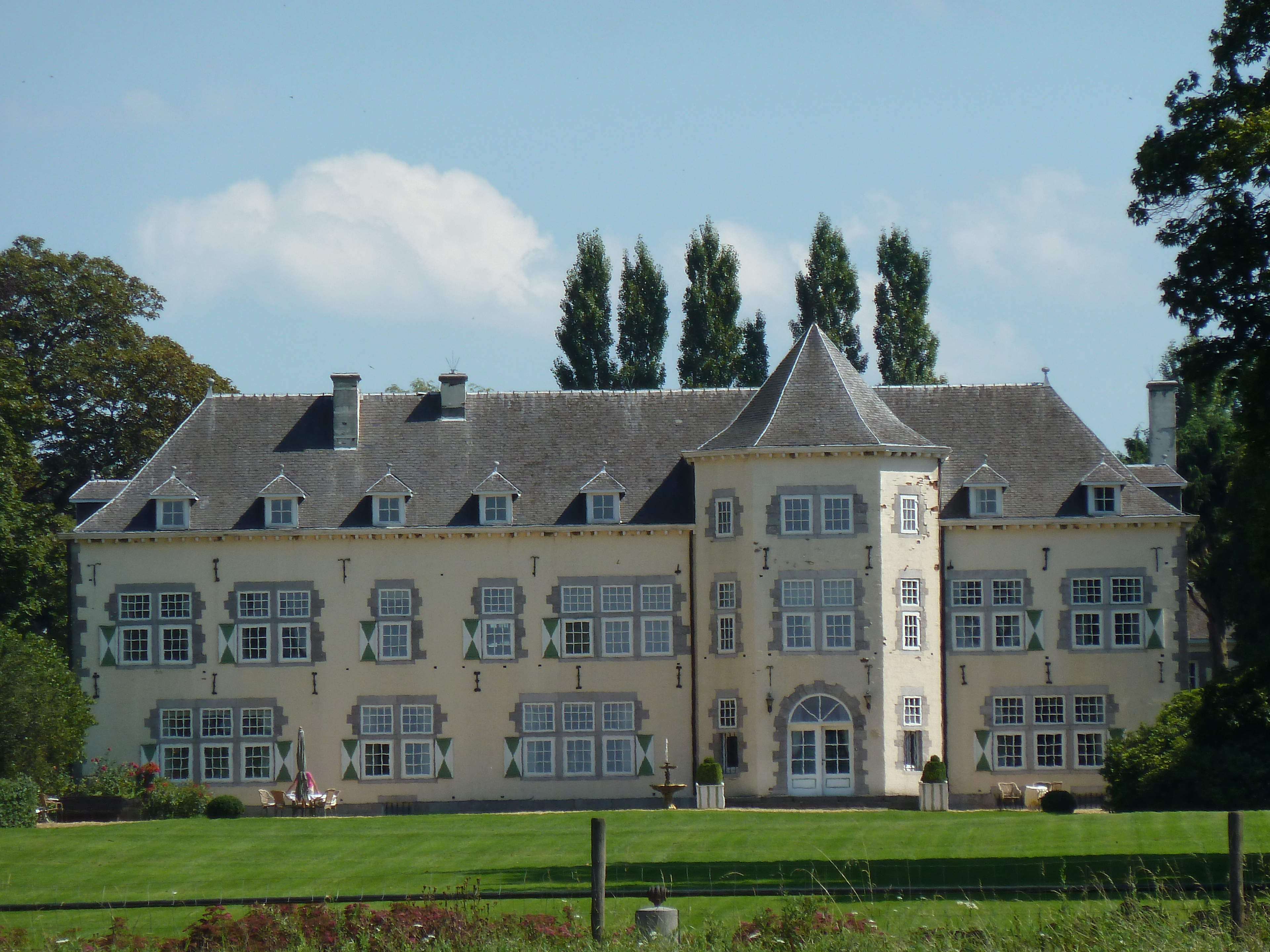
Forêt Castle is a castle on Rue Forêt-Village in the Belgian town of Forêt, in the municipality of Trooz. The original rococo-style castle burned down in September 1944. The German occupiers wanted to take revenge on a number of Belgian resistance fighters hiding in the area. In the process, 57 resistance fighters were murdered by the heavily armed superior force and the castle was shot on fire.
- Category
- Forgotten History
- Location
- Rue Forêt-Village, Belgium
- Coordinates
- 50.58358, 5.69594
- How to get there
- Google MapsApple MapsOpenStreetMap
- Wikidata
- Q48564026
What is Château de Forêt?
Château de Forêt is a Forgotten History place on VeroMaps. Other places close by: Château de la Fenderie, Nail Linden of Olne, Château de Haute-Fraipont, Fort de Fléron.
Where is Château de Forêt?
Château de Forêt is in Rue Forêt-Village, Belgium. Coordinates: 50.58358, 5.69594.
How do I get to Château de Forêt?
Château de Forêt is at Rue Forêt-Village, Belgium (50.58358, 5.69594). Enter these coordinates in Google Maps, Apple Maps or OpenStreetMap for walking, cycling or driving directions.