Forgotten History
Château de Châteauvieux
Talloires, France
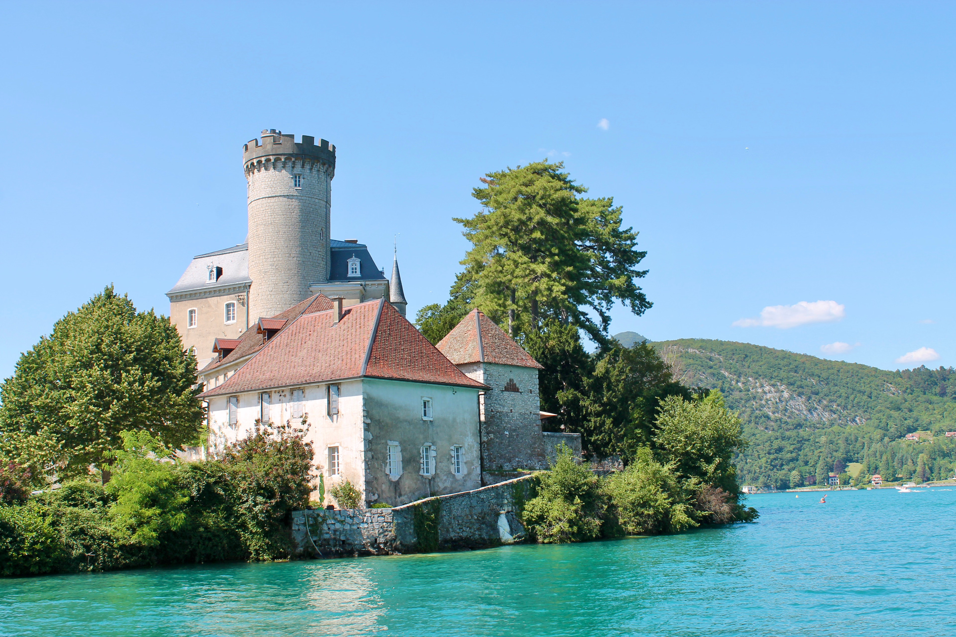
Le château de Châteauvieux, Châteauvieux ou parfois château Ruphy, dit communément, par erreur, château de Duingt, est une ancienne maison forte, remaniée à plusieurs reprises, notamment aux XVIIIe et XIXe siècles, sur la commune de Duingt dans le département français de la Haute-Savoie, en région Auvergne-Rhône-Alpes.
- Category
- Forgotten History
- Location
- Talloires, France
- Coordinates
- 45.83142, 6.20594
- How to get there
- Google MapsApple MapsOpenStreetMap
- Wikidata
- Q2968963
What is Château de Châteauvieux?
Château de Châteauvieux is a Forgotten History place on VeroMaps. Other places close by: Col de la Forclaz, Restaurant Yoann Conte, Imperial Palace, Annecy, Château d'Annecy.
Where is Château de Châteauvieux?
Château de Châteauvieux is in Talloires, France. Coordinates: 45.83142, 6.20594.
How do I get to Château de Châteauvieux?
Château de Châteauvieux is at Talloires, France (45.83142, 6.20594). Enter these coordinates in Google Maps, Apple Maps or OpenStreetMap for walking, cycling or driving directions.