Forgotten History
Château de Bayers
Mansle, France
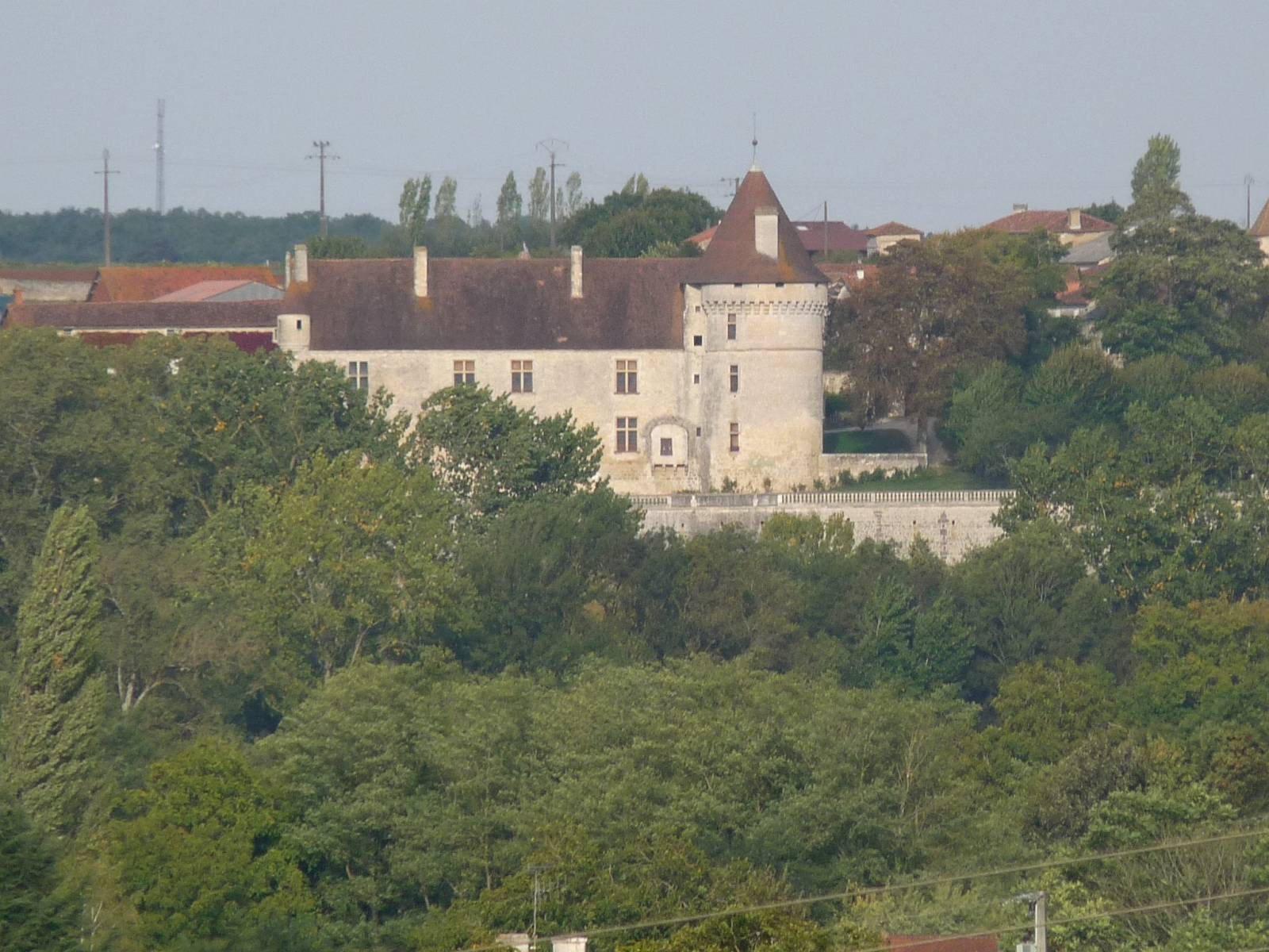
The Château de Bayers is a historic château that is located in the commune of Bayers (which merged into the new commune, Aunac-sur-Charente, in 2017), in the French department of Charente in the Nouvelle-Aquitaine region. The château overlooks the Charente river and is about 30 kilometres (19 mi) north of Angoulême.
- Category
- Forgotten History
- Location
- Mansle, France
- Coordinates
- 45.92030, 0.22917
- How to get there
- Google MapsApple MapsOpenStreetMap
- Wikidata
- Q2968454
What is Château de Bayers?
Château de Bayers is a Forgotten History place on VeroMaps. Other places close by: Dolmen de Saint-Ciers-sur-Bonnieure, Dolmens des Pérottes, Dolmen de la Pierre Blanche, Tumuli of Tusson.
Where is Château de Bayers?
Château de Bayers is in Mansle, France. Coordinates: 45.92030, 0.22917.
How do I get to Château de Bayers?
Château de Bayers is at Mansle, France (45.92030, 0.22917). Enter these coordinates in Google Maps, Apple Maps or OpenStreetMap for walking, cycling or driving directions.