Forgotten History
Château d'Étampes
Etampes, France
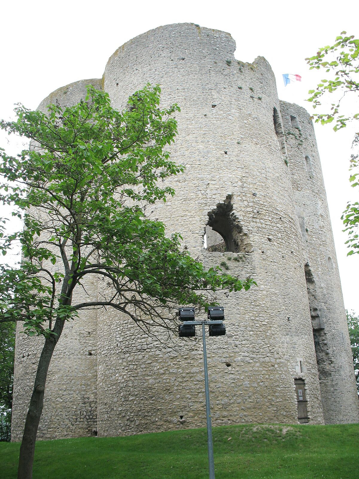
The Château d'Étampes was a castle in the town of Étampes in the department of Essonne, France. The principal remains are of the 12th-century keep, the Tour de Guinette.
- Category
- Forgotten History
- Location
- Etampes, France
- Coordinates
- 48.43722, 2.15833
- How to get there
- Google MapsApple MapsOpenStreetMap
- Wikidata
- Q1014739
What is Château d'Étampes?
Château d'Étampes is a Forgotten History place on VeroMaps. Other places close by: Pierre Levée, grotte de Bouray-sur-Juine, Pont de l'Hêtre, Dolmen le Grès de Linas.
Where is Château d'Étampes?
Château d'Étampes is in Etampes, France. Coordinates: 48.43722, 2.15833.
How do I get to Château d'Étampes?
Château d'Étampes is at Etampes, France (48.43722, 2.15833). Enter these coordinates in Google Maps, Apple Maps or OpenStreetMap for walking, cycling or driving directions.