Urbex & Abandoned
Centralia Coal Mine
Washington, United States
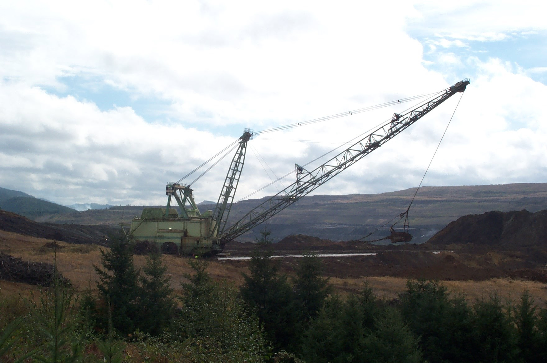
Centralia Coal Mine was an open-pit coal mine, owned by the Canadian-based TransAlta Corporation. The mine, reported to be expensive to operate, was shut down in 2006. Also referred to as the TransAlta Centralia Mining (TCM) operation, it was located northeast of the city of Centralia, in Lewis County, in the US state of Washington. As part of a combined $554 million purchase along with the Centralia Power Plant, the mine was bought by TransAlta in July 1999.
- Category
- Urbex & Abandoned
- Location
- Washington, United States
- Coordinates
- 46.77330, -122.84300
- How to get there
- Google MapsApple MapsOpenStreetMap
- Wikidata
- Q5062172
What is Centralia Coal Mine?
Centralia Coal Mine is a Urbex & Abandoned place on VeroMaps. Other places close by: Tenino Stone Company Quarry, Capitol Theater, Tacoma Narrows Bridge, Browns Point Light.
Where is Centralia Coal Mine?
Centralia Coal Mine is in Washington, United States. Coordinates: 46.77330, -122.84300.
How do I get to Centralia Coal Mine?
Centralia Coal Mine is at Washington, United States (46.77330, -122.84300). Enter these coordinates in Google Maps, Apple Maps or OpenStreetMap for walking, cycling or driving directions.