Forgotten History
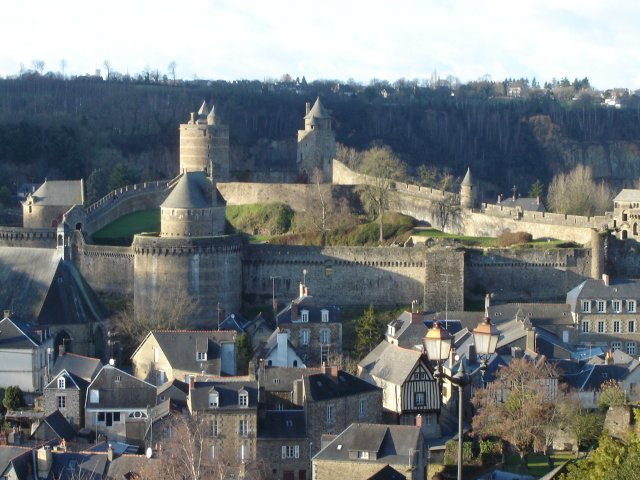
Castle of Fougères
Fougeres, France
The Château de Fougères is a castle in the commune of Fougères in the Ille-et-Vilaine département of France. The castle was built on a naturally protected site, a rock emerging from a swamp surrounded by a loop of the Nançon river acting as a natural moat.
- Category
- Forgotten History
- Location
- Fougeres, France
- Coordinates
- 48.35360, -1.20944
- How to get there
- Google MapsApple MapsOpenStreetMap
- Wikidata
- Q724929
What is Castle of Fougères?
Castle of Fougères is a Forgotten History place on VeroMaps. Other places close by: Pierre courcoulée, Dolmen du Rocher-Jacquiaux, Mine de Montbelleux, Botanical garden of Upper Brittany.
Where is Castle of Fougères?
Castle of Fougères is in Fougeres, France. Coordinates: 48.35360, -1.20944.
How do I get to Castle of Fougères?
Castle of Fougères is at Fougeres, France (48.35360, -1.20944). Enter these coordinates in Google Maps, Apple Maps or OpenStreetMap for walking, cycling or driving directions.