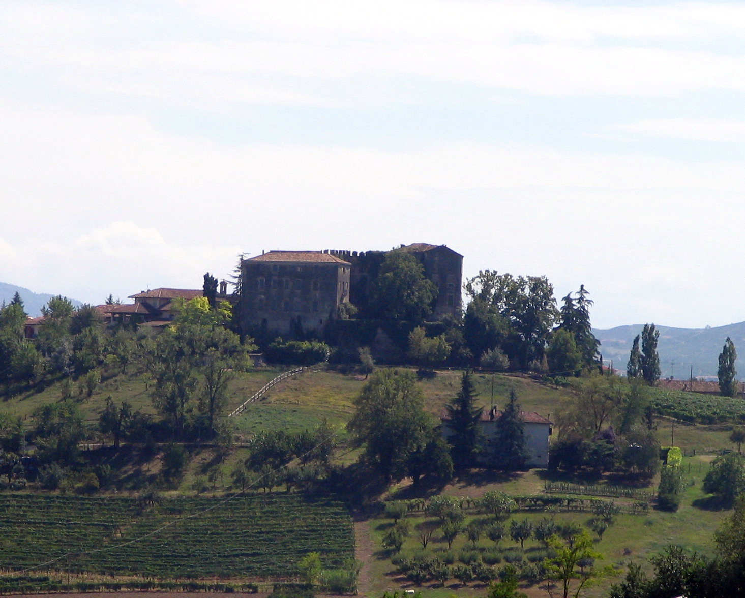
Forgotten History
Castle of Burio
Strada comunale Castello Burio, Italy
Il castello di Burio è un castello situato nella frazione Burio, a Costigliole d'Asti, in provincia di Asti. È il secondo grande maniero della zona, dopo il castello di Costigliole d'Asti.
- Category
- Forgotten History
- Location
- Strada comunale Castello Burio, Italy
- Coordinates
- 44.76943, 8.19879
- How to get there
- Google MapsApple MapsOpenStreetMap
- Wikidata
- Q3662514
What is Castle of Burio?
Castle of Burio is a Forgotten History place on VeroMaps. Other places close by: Castle of Costigliole d'Asti, Palazzo Gazzelli, Torre Guttuari, Torre De Regibus.
Where is Castle of Burio?
Castle of Burio is in Strada comunale Castello Burio, Italy. Coordinates: 44.76943, 8.19879.
How do I get to Castle of Burio?
Castle of Burio is at Strada comunale Castello Burio, Italy (44.76943, 8.19879). Enter these coordinates in Google Maps, Apple Maps or OpenStreetMap for walking, cycling or driving directions.