Forgotten History
Castle De Dael
Brunssum, Netherlands
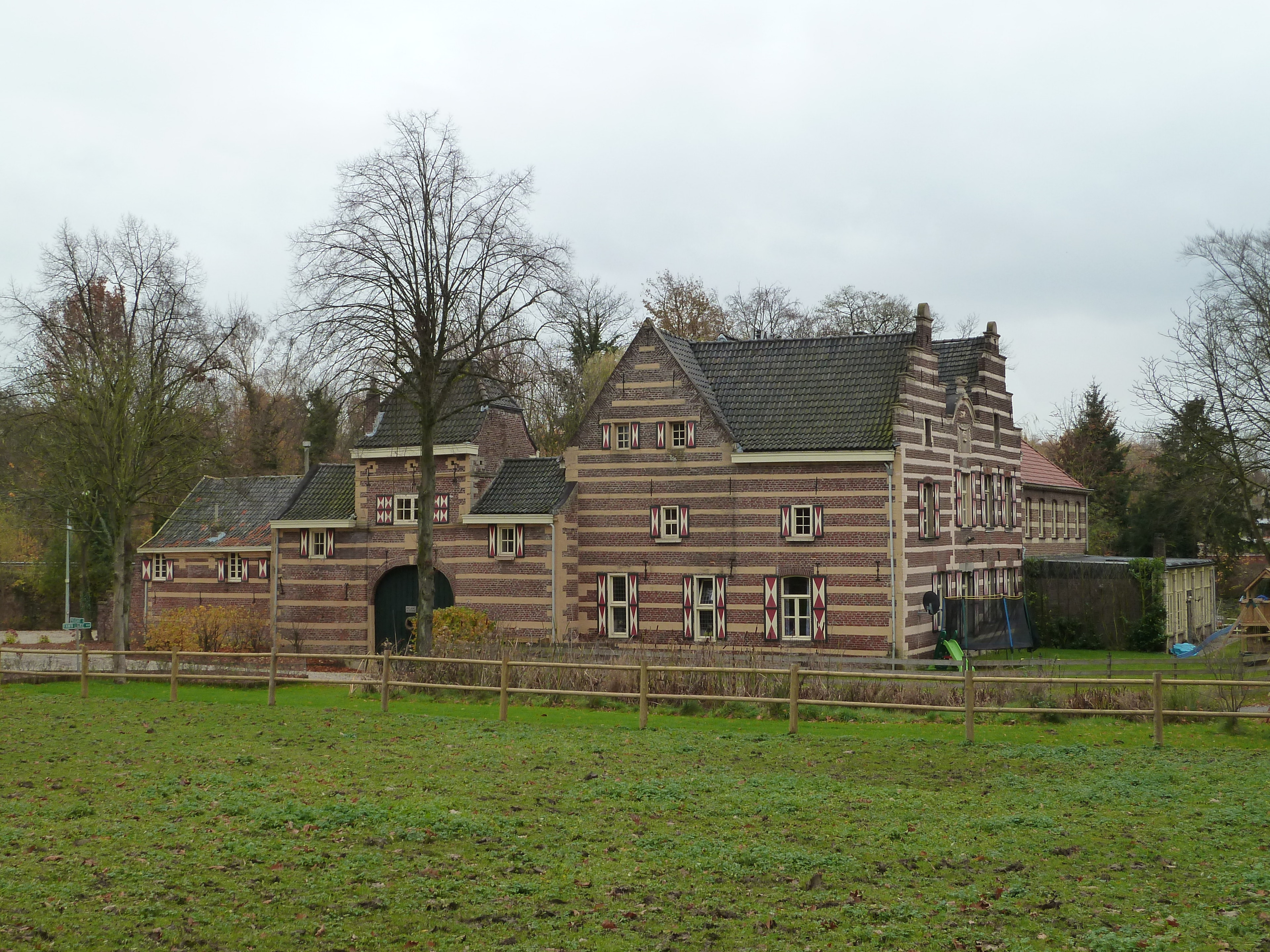
Castle or House De Dael (also called House Oelsbroek) is located in the municipality of Beekdaelen in Dutch Limburg. The house is located in the Platsbeek valley and the name Oelsbroek is probably derived from Elsbroek: a peat-like area planted with Alders. Like the nearby Reijmersbeek castle, De Dael is wedged between the A76 and the Sittard - Heerlen railway line. House De Dael is largely seventeenth and eighteenth century and was built around a square square and surrounded on the outside by ponds and canals.
- Category
- Forgotten History
- Location
- Brunssum, Netherlands
- Address
- Daelderpad 1, Brunssum
- Coordinates
- 50.92231, 5.89038
- How to get there
- Google MapsApple MapsOpenStreetMap
- Wikidata
- Q3542356
What is Castle De Dael?
Castle De Dael is a Forgotten History place on VeroMaps, on Daelderpad 1. Other places close by: Kasteel Nierhoven, Reijmersbeek Castle, Onze-Lieve-Vrouw-Sterre-der-Zeekapel, Huis Laar.
Where is Castle De Dael?
Castle De Dael is in Brunssum, Netherlands. Coordinates: 50.92231, 5.89038.
How do I get to Castle De Dael?
Castle De Dael is at Daelderpad 1, Brunssum, Netherlands (50.92231, 5.89038). Enter these coordinates in Google Maps, Apple Maps or OpenStreetMap for walking, cycling or driving directions.