Forgotten History
Castillo de Peñaflor
Mancha Real, Spain
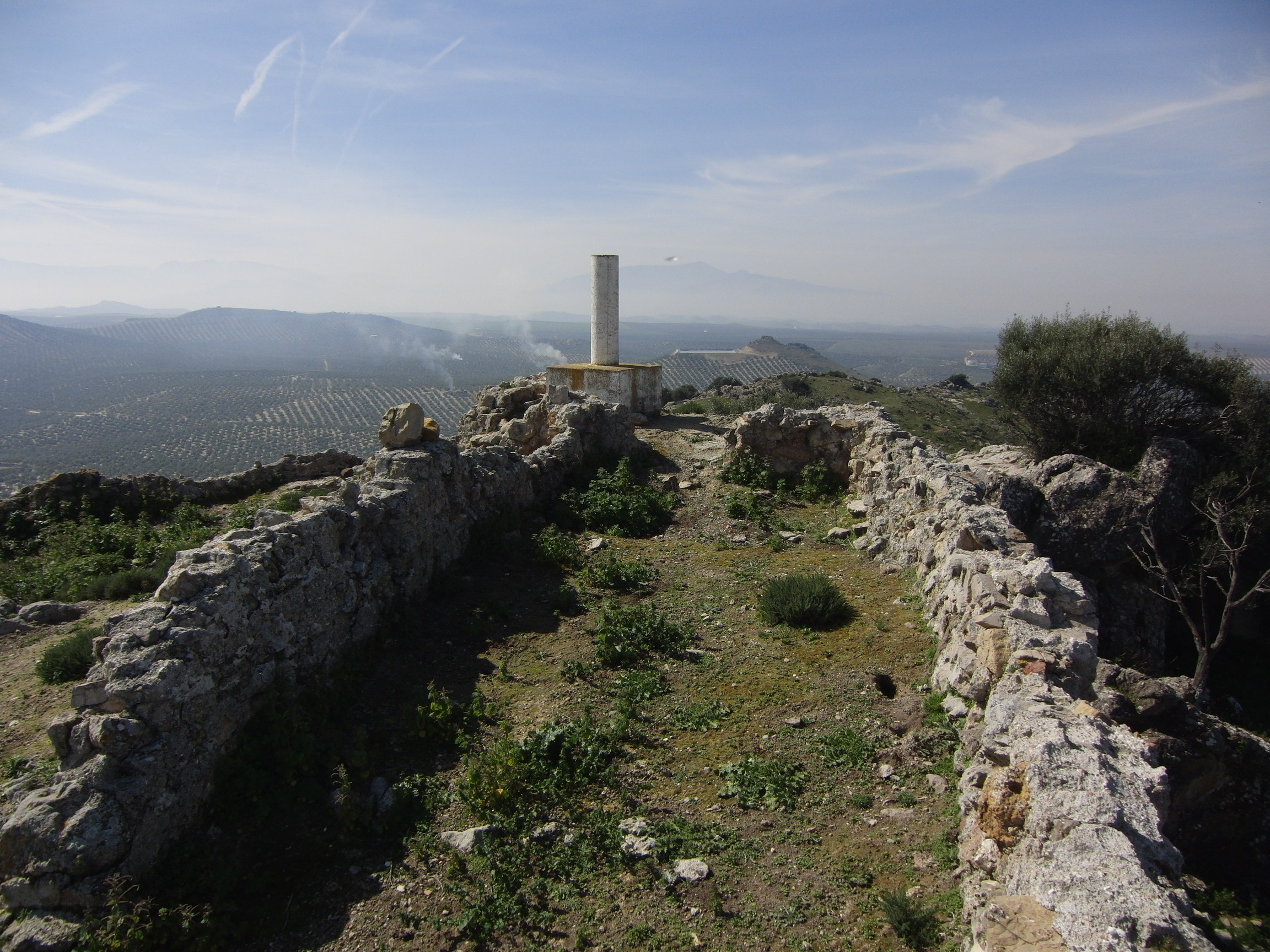
El castillo de Peñaflor es un castillo rural situado en el cerro del mismo nombre, en el antiguo camino entre Jaén y Baeza, cerca del Puente del Obispo, en la provincia de Jaén (España). Está declarado bien de interés cultural, conforme al decreto de 22 de abril de 1949.
- Category
- Forgotten History
- Location
- Mancha Real, Spain
- Coordinates
- 37.85246, -3.64172
- How to get there
- Google MapsApple MapsOpenStreetMap
- Wikidata
- Q5398336
What is Castillo de Peñaflor?
Castillo de Peñaflor is a Forgotten History place on VeroMaps. Other places close by: Torre Mocha, Oppidum ibero de Puente Tablas, Marroquíes Bajos, Estación de autobuses de Jaén.
Where is Castillo de Peñaflor?
Castillo de Peñaflor is in Mancha Real, Spain. Coordinates: 37.85246, -3.64172.
How do I get to Castillo de Peñaflor?
Castillo de Peñaflor is at Mancha Real, Spain (37.85246, -3.64172). Enter these coordinates in Google Maps, Apple Maps or OpenStreetMap for walking, cycling or driving directions.