Forgotten History
Castillo de Olvera
Olvera, Spain
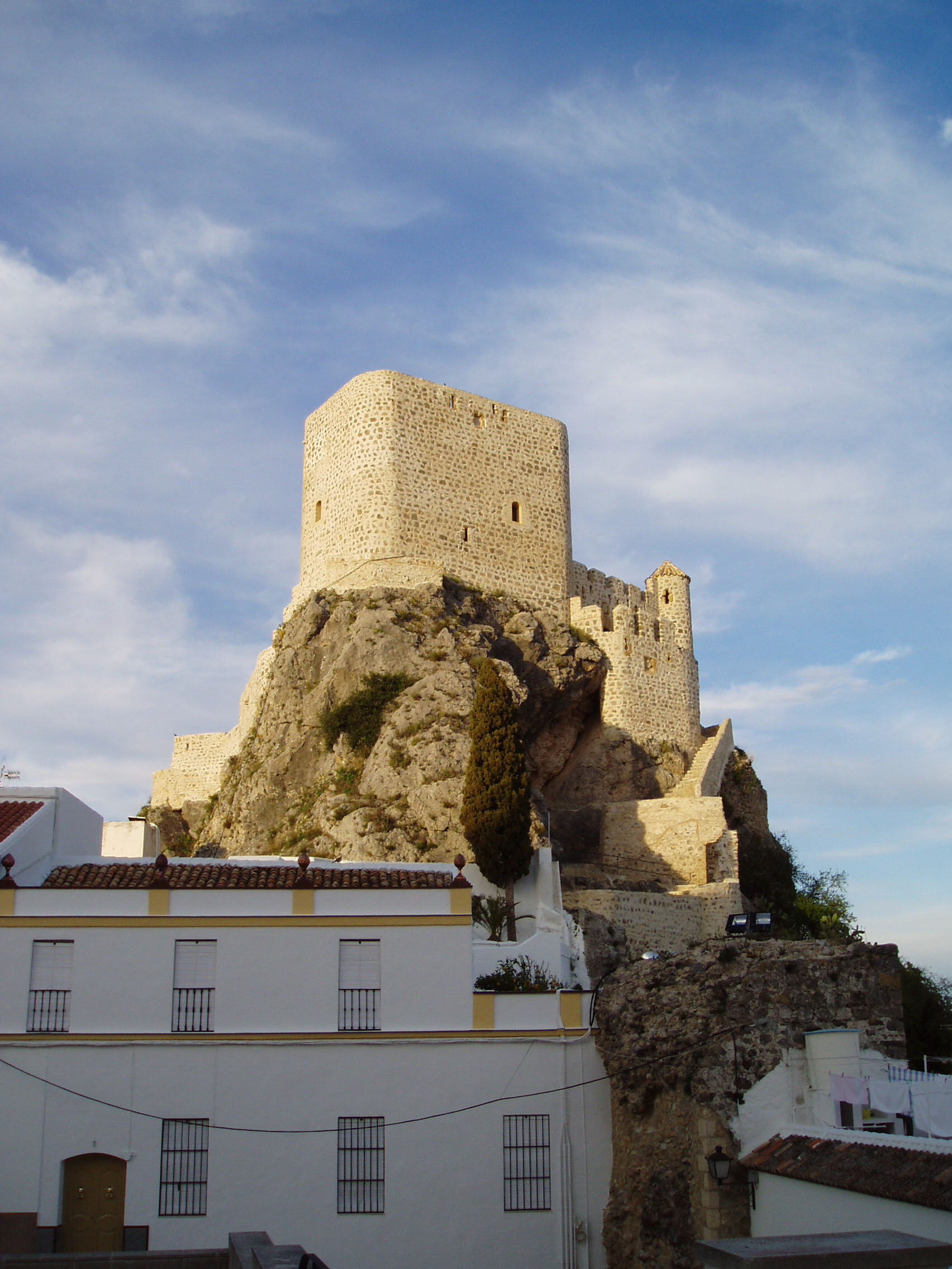
Castillo de Olvera is located in Olvera in the province of Cádiz, southern Spain. It was built in the late 12th century as part of the defensive system of the Emirate of Granada. Situated on a rock 623 metres (2,044 ft) above sea level, the highest point of the town, the castle has an irregularly-shaped elongated triangle that fits the form of the rock base. It was declared a Bien de Interés Cultural monument in 1982.
- Category
- Forgotten History
- Location
- Olvera, Spain
- Coordinates
- 36.93577, -5.26736
- How to get there
- Google MapsApple MapsOpenStreetMap
- Wikidata
- Q5757495
What is Castillo de Olvera?
Castillo de Olvera is a Forgotten History place on VeroMaps. Other places close by: Dolmen del Gigante, Tomillo Dolmens, Capilla de San Juan de Letrán (Zahara), Dolmen de La Giganta.
Where is Castillo de Olvera?
Castillo de Olvera is in Olvera, Spain. Coordinates: 36.93577, -5.26736.
How do I get to Castillo de Olvera?
Castillo de Olvera is at Olvera, Spain (36.93577, -5.26736). Enter these coordinates in Google Maps, Apple Maps or OpenStreetMap for walking, cycling or driving directions.