Photo corners
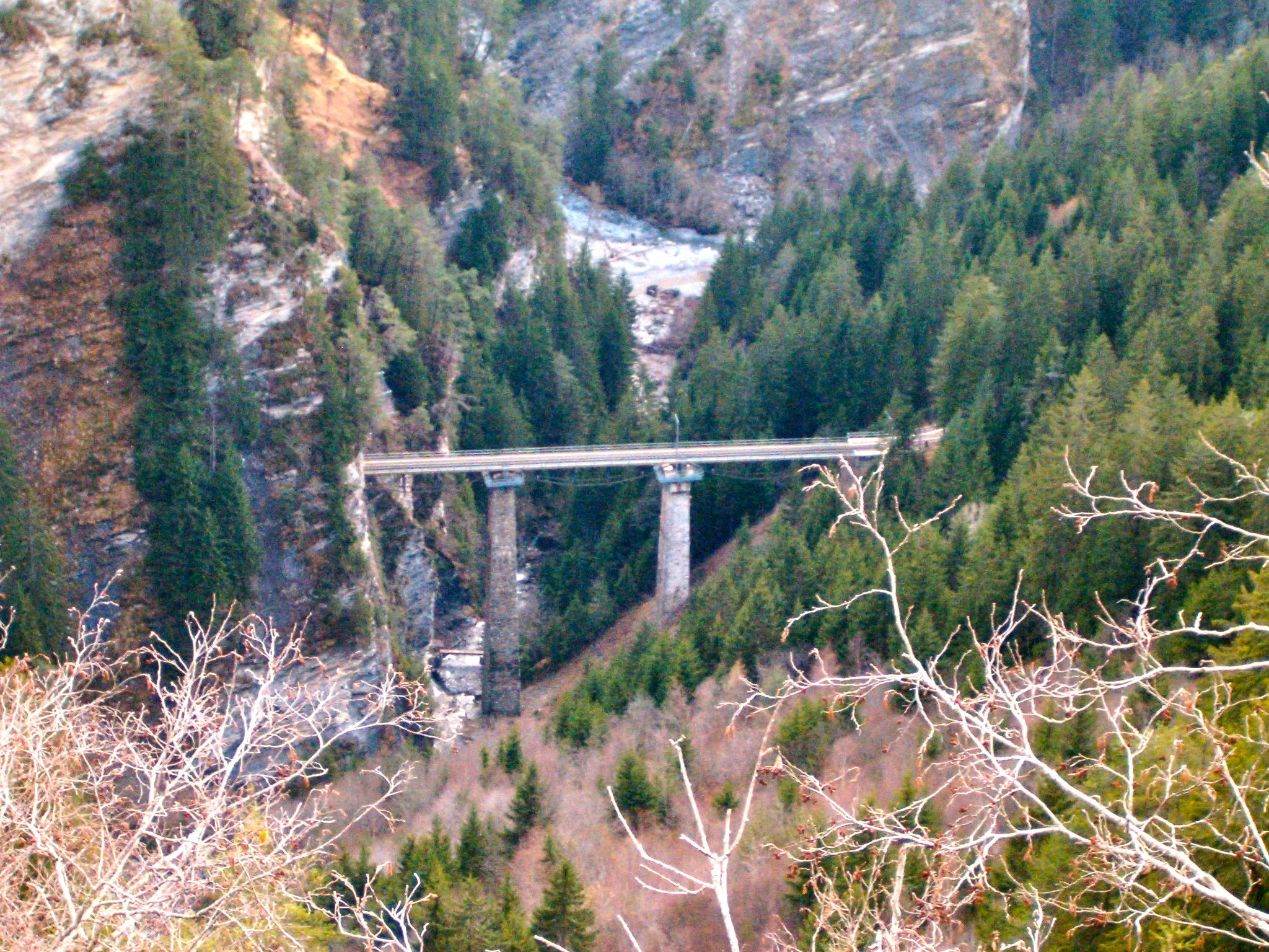
Castielertobel Viaduct
Castiel, Switzerland
The Castielertobel Viaduct (German: Castielertobel-Viadukt) was a single track railway bridge spanning the Castielertobelbach, and linking the municipalities of Castiel and Calfreisen, in the Canton of Graubünden, Switzerland. It was built between 1913 and 1914 for the Chur–Arosa railway, and was owned and used by the Rhaetian Railway. It was demolished on 13 May 2024, and its replacement was already built, and waiting near the old bridge, designed to slide into place within two weeks. The replacement is a single span steel construction designed to shorten by up to 1.5 metres (4 ft 11 in) over the predicted 100 year life of the bridge.
- Category
- Photo Spots
- Location
- Castiel, Switzerland
- Coordinates
- 46.83521, 9.59342
- How to get there
- Google MapsApple MapsOpenStreetMap
- Wikidata
- Q1049065
What is Castielertobel Viaduct?
Castielertobel Viaduct is a Photo Spots place on VeroMaps. Other places close by: Bernegg Castle, Graubünden, Martin Fountain, Alt-Haldenstein Castle, Gründjitobel Viaduct.
Where is Castielertobel Viaduct?
Castielertobel Viaduct is in Castiel, Switzerland. Coordinates: 46.83521, 9.59342.
How do I get to Castielertobel Viaduct?
Castielertobel Viaduct is at Castiel, Switzerland (46.83521, 9.59342). Enter these coordinates in Google Maps, Apple Maps or OpenStreetMap for walking, cycling or driving directions.