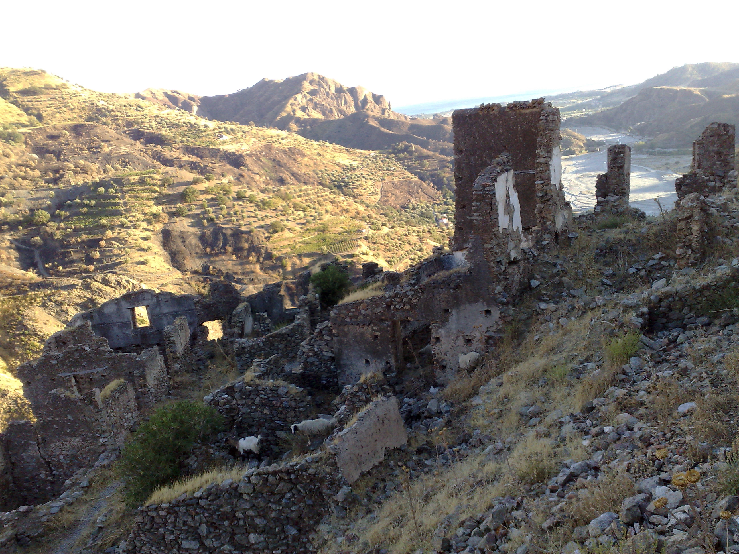
Forgotten History
Castello Ruffo di Amendolea
Strada Vicinale Tefani, Italy
Das Castello Ruffo di Amendolea ist eine mittelalterliche Burgruine aus dem 11. Jahrhundert in Amendolea, einem Ortsteil von Condofuri in der italienischen Region Kalabrien. Sie liegt mitten im ehemals griechischen Teil der Region und hatte eine hochstrategische Bedeutung, da das Tal der Fiumara Amendolea in historischer Zeit die Grenze zwischen Locri und Reggio Calabria war.
- Category
- Forgotten History
- Location
- Strada Vicinale Tefani, Italy
- Coordinates
- 37.99164, 15.89813
- How to get there
- Google MapsApple MapsOpenStreetMap
- Wikidata
- Q3662363
What is Castello Ruffo di Amendolea?
Castello Ruffo di Amendolea is a Forgotten History place on VeroMaps. Other places close by: Co-Cathedral of the Presentation of the Blessed Virgin Mary, Capo Spartivento Calabro Lighthouse, Bouleuterion, Aragonese Castle.
Where is Castello Ruffo di Amendolea?
Castello Ruffo di Amendolea is in Strada Vicinale Tefani, Italy. Coordinates: 37.99164, 15.89813.
How do I get to Castello Ruffo di Amendolea?
Castello Ruffo di Amendolea is at Strada Vicinale Tefani, Italy (37.99164, 15.89813). Enter these coordinates in Google Maps, Apple Maps or OpenStreetMap for walking, cycling or driving directions.