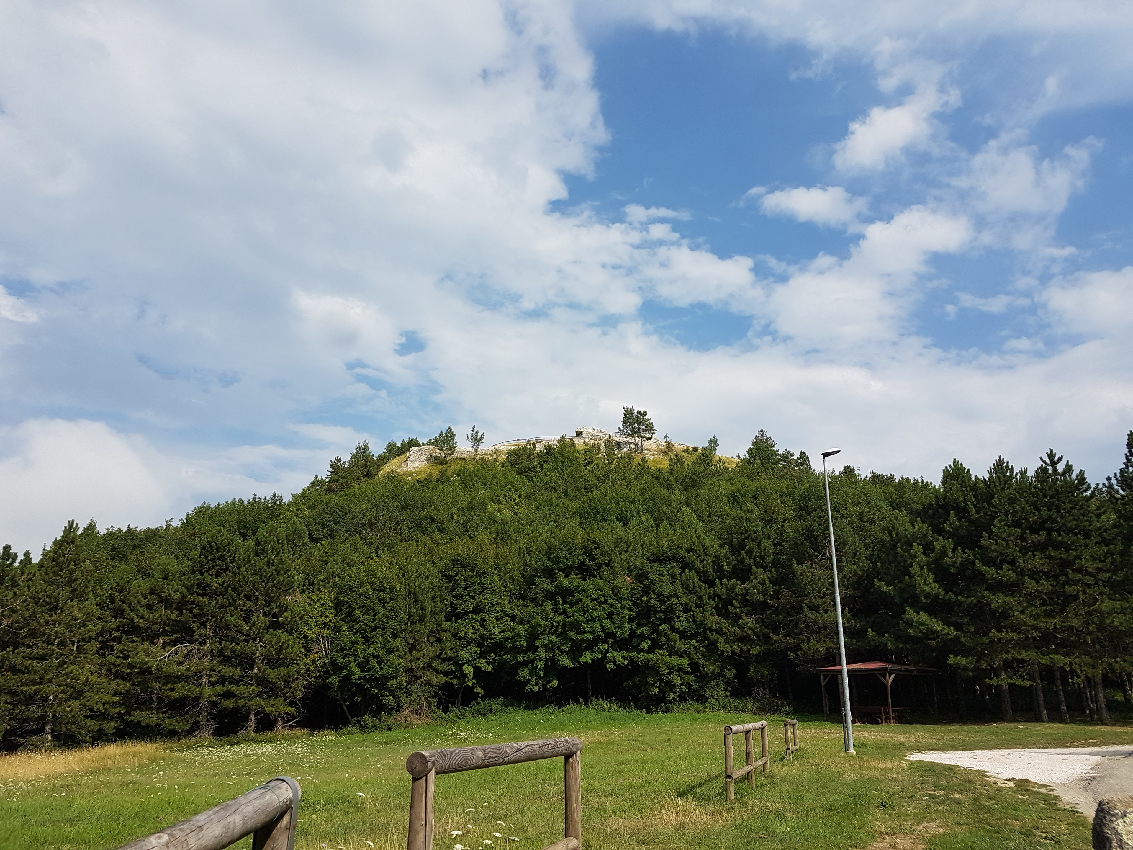
Forgotten History
Castello di Montecopiolo
Via Castello, Italy
Das Castello di Montecopiolo ist ein mittelalterlicher Burgstall oberhalb von Villagrande di Montecopiolo, einem Ortsteil der Gemeinde Montecopiolo in der italienischen Region Emilia-Romagna. Die Burg wurde im 10. Jahrhundert im Auftrag der Bischöfe des Montefeltro oder ihrer Lehensnehmer, den Grafen von Carpegna, erbaut. Die Überreste der Burg liegen in einer Höhe von 1033 Metern auf der Wasserscheide zwischen den Talschaften der Flüsse Conca und Marecchia. Die Fläche des Anwesens beträgt etwa 9000 m².
- Category
- Forgotten History
- Location
- Via Castello, Italy
- Coordinates
- 43.84282, 12.36805
- How to get there
- Google MapsApple MapsOpenStreetMap
- Wikidata
- Q3662733
What is Castello di Montecopiolo?
Castello di Montecopiolo is a Forgotten History place on VeroMaps. Other places close by: duomo di Pennabilli, Ponte di Confine, Cocoricò, Tempietto of Sant'Antonio, Rimini.
Where is Castello di Montecopiolo?
Castello di Montecopiolo is in Via Castello, Italy. Coordinates: 43.84282, 12.36805.
How do I get to Castello di Montecopiolo?
Castello di Montecopiolo is at Via Castello, Italy (43.84282, 12.36805). Enter these coordinates in Google Maps, Apple Maps or OpenStreetMap for walking, cycling or driving directions.