Forgotten History
Castello di Carpineti
via Castello ‒ Castello ‒ Carpineti (RE), Italy
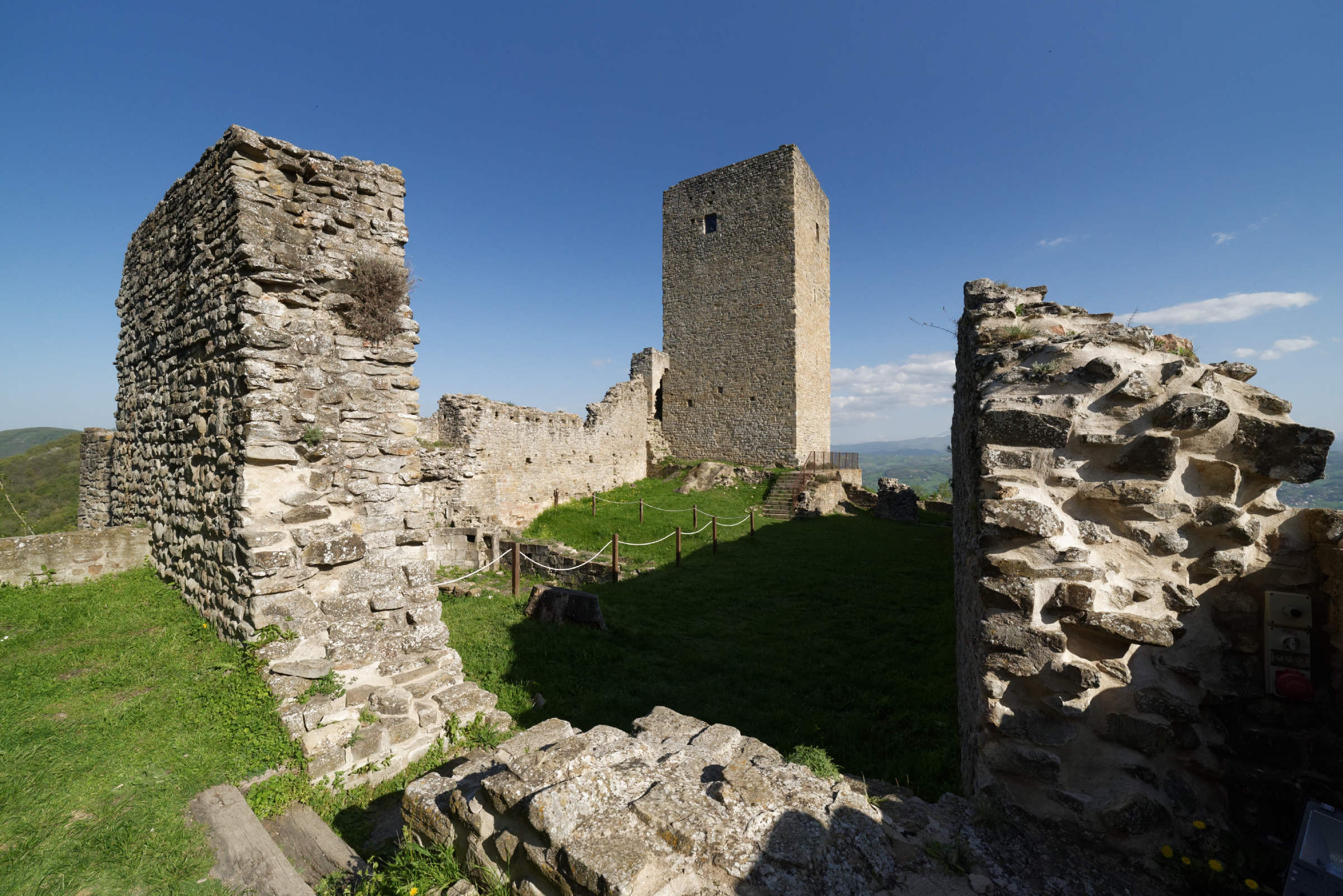
Das Castello delle Carpinete ist die Ruine einer mittelalterlichen Höhenburg in Carpineti in der italienischen Region Emilia-Romagna. Sie liegt über den Tälern des Flusses Secchia und des Tresinarobaches und ist eine der weitläufigsten im Apennin von Reggio.
- Category
- Forgotten History
- Location
- via Castello ‒ Castello ‒ Carpineti (RE), Italy
- Coordinates
- 44.44870, 10.52739
- How to get there
- Google MapsApple MapsOpenStreetMap
- Wikidata
- Q3662447
What is Castello di Carpineti?
Castello di Carpineti is a Forgotten History place on VeroMaps. Other places close by: Castello di Felina, Canossa Castle, Tana della Mussina, Castle of Bianello.
Where is Castello di Carpineti?
Castello di Carpineti is in via Castello ‒ Castello ‒ Carpineti (RE), Italy. Coordinates: 44.44870, 10.52739.
How do I get to Castello di Carpineti?
Castello di Carpineti is at via Castello ‒ Castello ‒ Carpineti (RE), Italy (44.44870, 10.52739). Enter these coordinates in Google Maps, Apple Maps or OpenStreetMap for walking, cycling or driving directions.