Photo corners
Castell de Querroig
Portbou, France
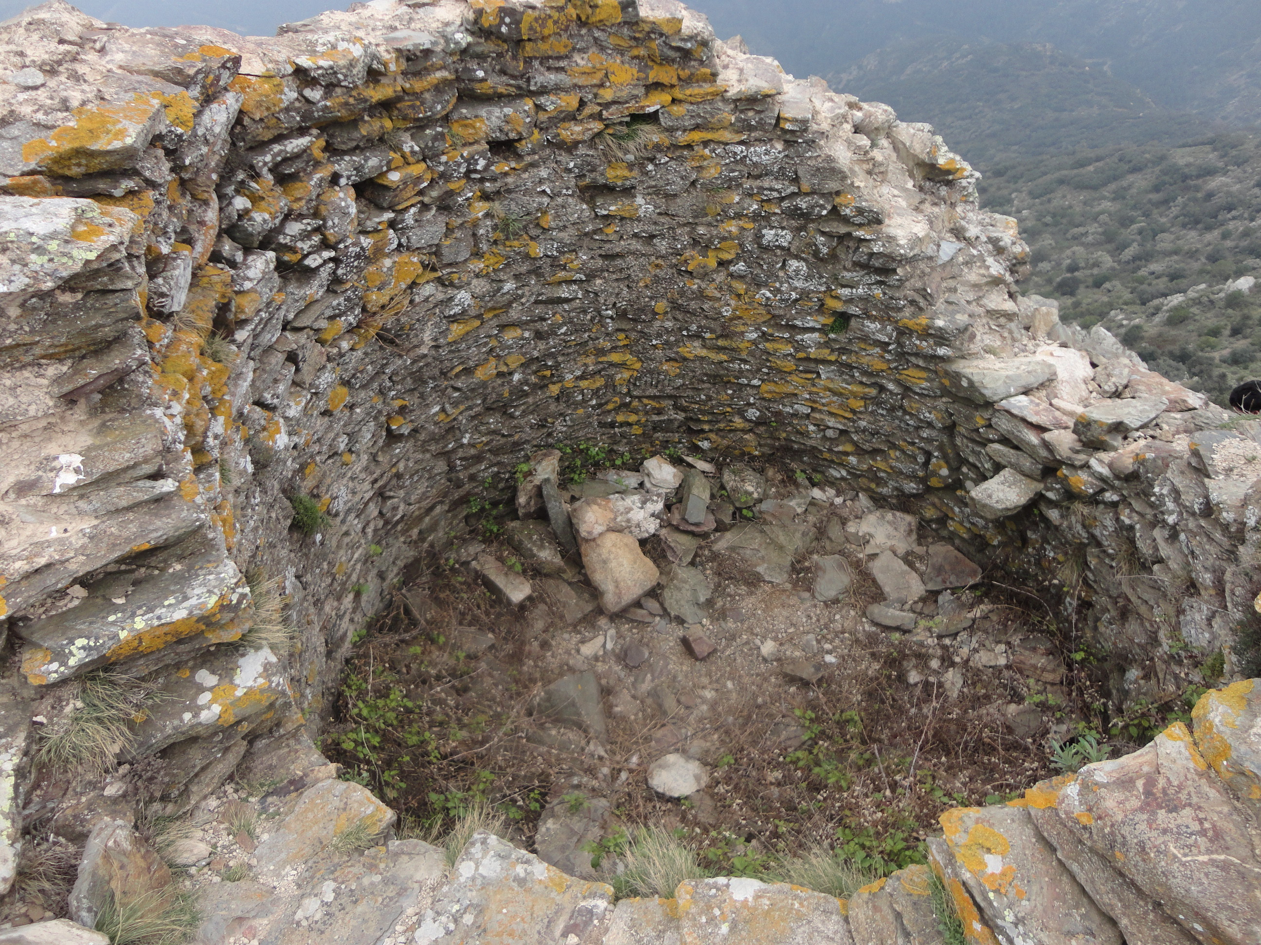
Das Castell de Querroig ist die Ruine einer mittelalterlichen Höhenburg aus dem 10. Jahrhundert, die auf dem an der französisch-spanischen Staatsgrenze gelegenen Puig de Querroig in 672 Meter Höhe errichtet wurde.
- Category
- Photo Spots
- Location
- Portbou, France
- Coordinates
- 42.43806, 3.12083
- How to get there
- Google MapsApple MapsOpenStreetMap
- Wikidata
- Q11913082
What is Castell de Querroig?
Castell de Querroig is a Photo Spots place on VeroMaps. Other places close by: Dolmen del Coll de la Farella, Coll de les Portes dolmen, dolmen de la Coma Enestapera, Dolmen de Gratallops.
Where is Castell de Querroig?
Castell de Querroig is in Portbou, France. Coordinates: 42.43806, 3.12083.
How do I get to Castell de Querroig?
Castell de Querroig is at Portbou, France (42.43806, 3.12083). Enter these coordinates in Google Maps, Apple Maps or OpenStreetMap for walking, cycling or driving directions.