Forgotten History
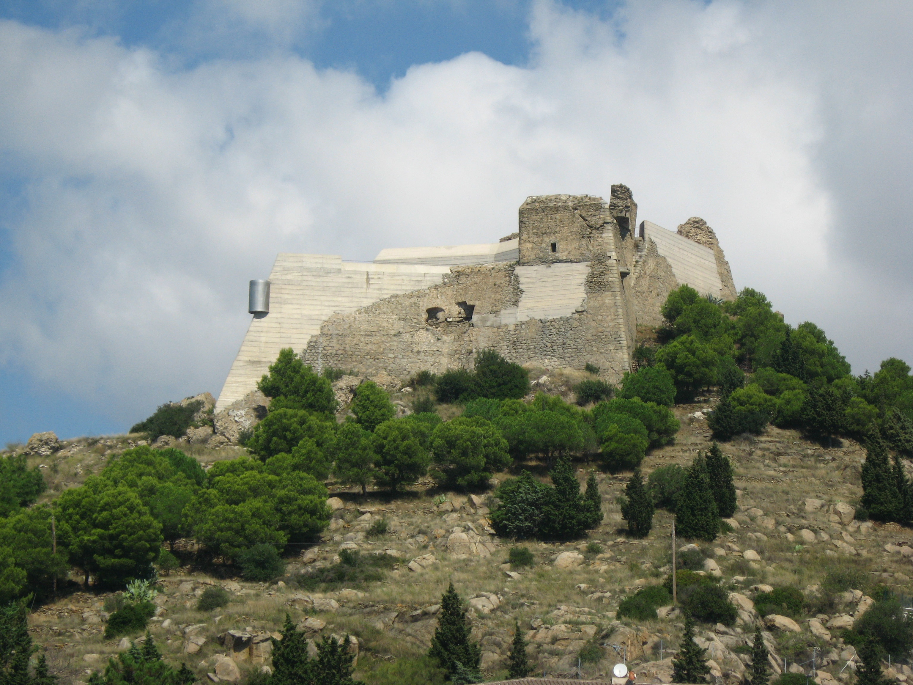
Castell de la Trinitat
Punta de la Poncella, Spain
Castell de la Trinitat (also known as the Castillo de la Poncella or the Botón de Roses) is located on the Gulf of Roses, Alt Empordà comarca, Province of Girona, Catalonia, Spain. Along with the Ciutadella de Roses, it provided defenses for the town of Roses.
- Category
- Forgotten History
- Location
- Punta de la Poncella, Spain
- Coordinates
- 42.24750, 3.18389
- How to get there
- Google MapsApple MapsOpenStreetMap
- Wikidata
- Q1048682
What is Castell de la Trinitat?
Castell de la Trinitat is a Forgotten History place on VeroMaps. Other places close by: Far de Roses, Dolmen de la Creu d'en Cobertella, Llit de la Generala, Dolmen del Cap de l’Home.
Where is Castell de la Trinitat?
Castell de la Trinitat is in Punta de la Poncella, Spain. Coordinates: 42.24750, 3.18389.
How do I get to Castell de la Trinitat?
Castell de la Trinitat is at Punta de la Poncella, Spain (42.24750, 3.18389). Enter these coordinates in Google Maps, Apple Maps or OpenStreetMap for walking, cycling or driving directions.