Forgotten History
Castell de Forna
Adsubia, Spain
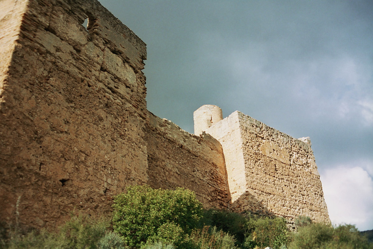
Die Burg Forna (valencianisch Castell de Forna; spanisch Castillo de Forna) ist eine Burg im Norden der spanischen Provinz Alicante. Sie liegt auf einer Kuppe auf 232 m Höhe, südlich oberhalb des gleichnamigen Dorfes, das zur Gemeinde l'Atzúbia gehört. Sie ist ausgesprochen gut erhalten wie nur wenige Burgen in der Region.
- Category
- Forgotten History
- Location
- Adsubia, Spain
- Coordinates
- 38.87222, -0.17083
- How to get there
- Google MapsApple MapsOpenStreetMap
- Wikidata
- Q1049184
What is Castell de Forna?
Castell de Forna is a Forgotten History place on VeroMaps. Other places close by: Capella de la Mare de Déu de la Font, Vilallonga, Castell d'Ambra, Castell del Castellar, Castell de Santa Anna d'Oliva.
Where is Castell de Forna?
Castell de Forna is in Adsubia, Spain. Coordinates: 38.87222, -0.17083.
How do I get to Castell de Forna?
Castell de Forna is at Adsubia, Spain (38.87222, -0.17083). Enter these coordinates in Google Maps, Apple Maps or OpenStreetMap for walking, cycling or driving directions.