Forgotten History
Castell de Ciutat
la Seu d'Urgell, Spain
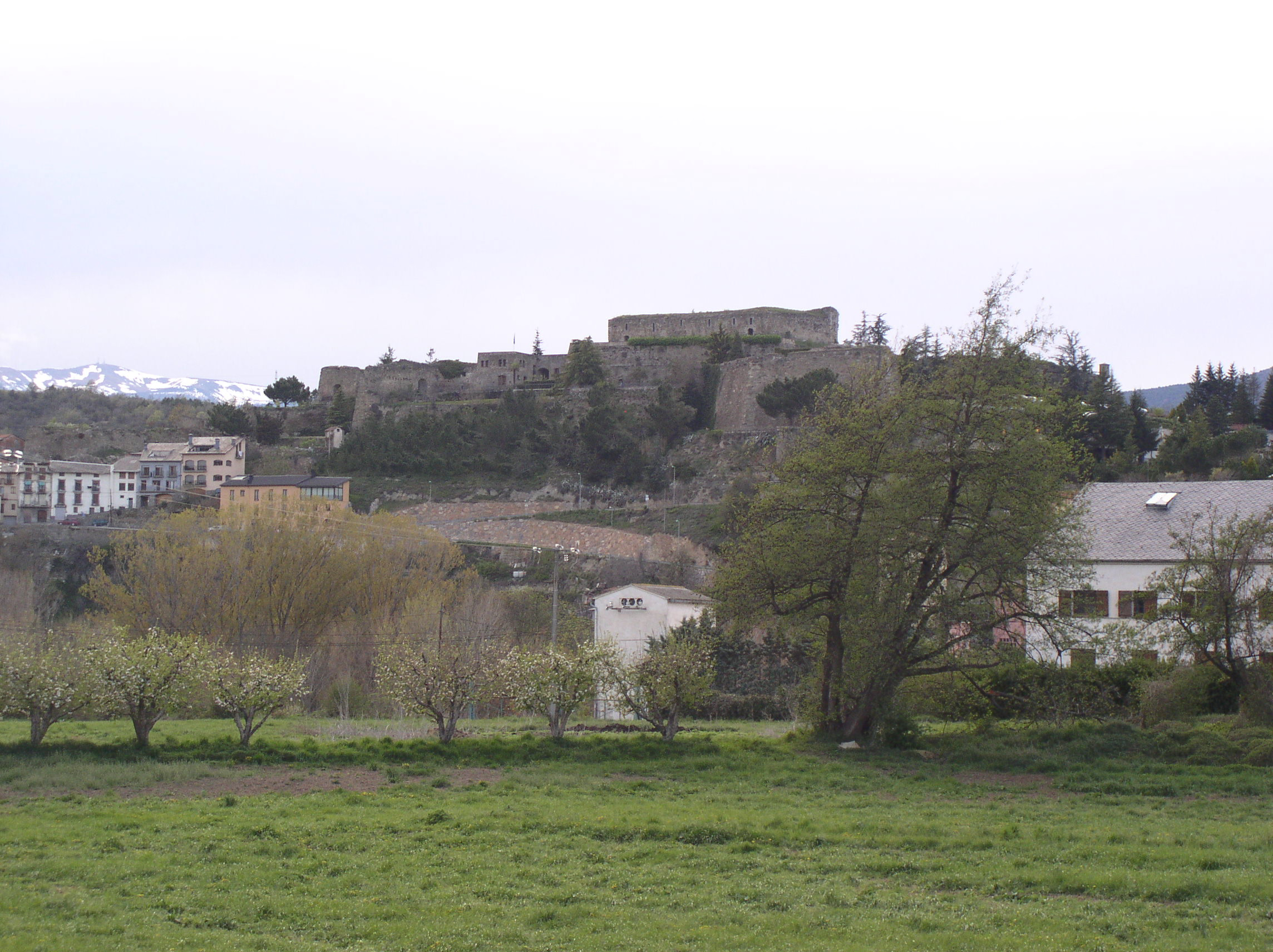
El Castell de Ciutat se levanta sobre una colina del alto valle del Segre. Localizado en el término municipal de Seo de Urgel en Cataluña (España) se sitúa junto al núcleo urbano de Castellciutat que fue municipio independiente hasta los años 70.
- Category
- Forgotten History
- Location
- la Seu d'Urgell, Spain
- Coordinates
- 42.35769, 1.44556
- How to get there
- Google MapsApple MapsOpenStreetMap
- Wikidata
- Q4891135
What is Castell de Ciutat?
Castell de Ciutat is a Forgotten History place on VeroMaps. Other places close by: Llirt, Farrera dels Llops, Castell d'Ars, Hostal Valira.
Where is Castell de Ciutat?
Castell de Ciutat is in la Seu d'Urgell, Spain. Coordinates: 42.35769, 1.44556.
How do I get to Castell de Ciutat?
Castell de Ciutat is at la Seu d'Urgell, Spain (42.35769, 1.44556). Enter these coordinates in Google Maps, Apple Maps or OpenStreetMap for walking, cycling or driving directions.