Forgotten History
Castell Coch
Radyr, United Kingdom
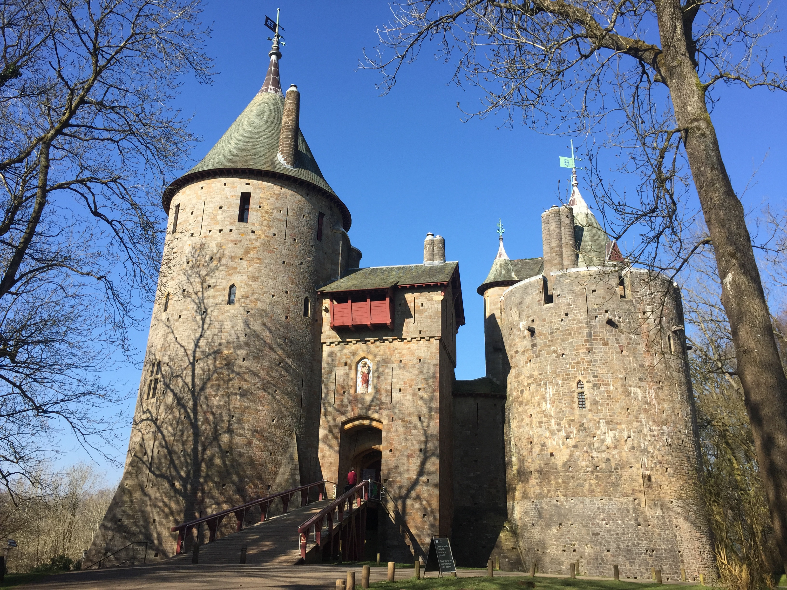
Castell Coch je hrad nacházející se šest kilometrů severně od Llandaffu. Vystavěn byl v novogotickém stylu v letech 1871 až 1891 podle architekta Williama Burgese. V roce 1963 byl zařazen do první třídy seznamu listed building. Hrad stojí na zalesněném svahu v údolí řeky Taff severně od Tongwynlais, asi 9 kilometrů od Cardiffu. Jméno Castell Coch znamená ve velštině Červený hrad.
- Category
- Forgotten History
- Location
- Radyr, United Kingdom
- Coordinates
- 51.53583, -3.25472
- How to get there
- Google MapsApple MapsOpenStreetMap
- Wikidata
- Q2704850
What is Castell Coch?
Castell Coch is a Forgotten History place on VeroMaps. Other places close by: Caerphilly Castle, Caerau Hillfort, Miskin Manor, Cardiff Castle.
Where is Castell Coch?
Castell Coch is in Radyr, United Kingdom. Coordinates: 51.53583, -3.25472.
How do I get to Castell Coch?
Castell Coch is at Radyr, United Kingdom (51.53583, -3.25472). Enter these coordinates in Google Maps, Apple Maps or OpenStreetMap for walking, cycling or driving directions.