Photo corners
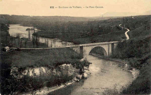
Carnot bridge
Collonges, France
Le pont Carnot est un pont en arc (unique) utilisé comme pont routier. Conçu par Sadi Carnot, il franchit le Rhône entre Collonges (Ain) et Chevrier (Haute-Savoie).
- Category
- Photo Spots
- Location
- Collonges, France
- Coordinates
- 46.12038, 5.90430
- How to get there
- Google MapsApple MapsOpenStreetMap
- Wikidata
- Q3396483
What is Carnot bridge?
Carnot bridge is a Photo Spots place on VeroMaps. Other places close by: Viaduc de Bellegarde, Pont de Savoie, Château de Chaumont, Chapelle de Charly d'Andilly.
Where is Carnot bridge?
Carnot bridge is in Collonges, France. Coordinates: 46.12038, 5.90430.
How do I get to Carnot bridge?
Carnot bridge is at Collonges, France (46.12038, 5.90430). Enter these coordinates in Google Maps, Apple Maps or OpenStreetMap for walking, cycling or driving directions.