Photo corners
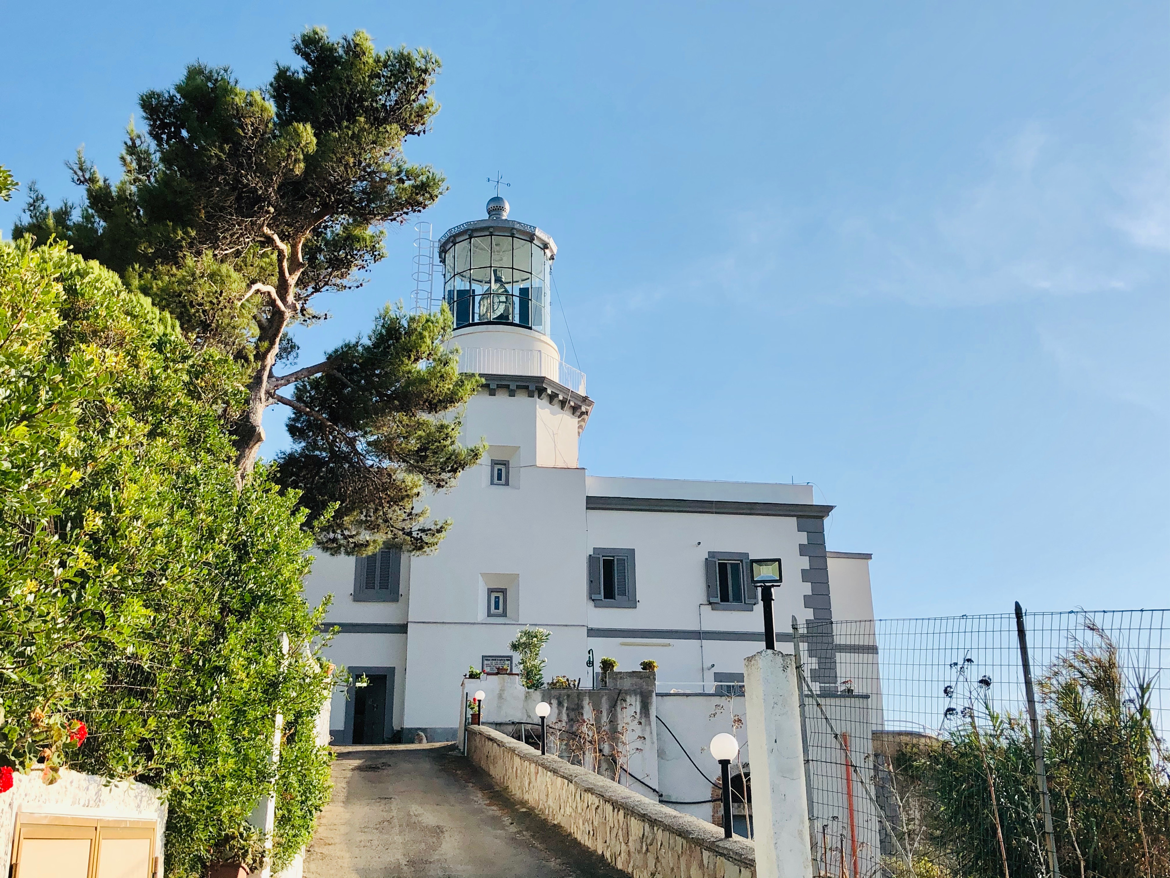
Capo Palinuro Lighthouse
Palinuro, Italy
Capo Palinuro Lighthouse (Italian: Faro di Capo Palinuro) is an active lighthouse located in the south-western Italy, roughly 40 miles (64 km) south-west of Salerno, in the southern part of Cilento.
- Category
- Photo Spots
- Location
- Palinuro, Italy
- Coordinates
- 40.02458, 15.27408
- How to get there
- Google MapsApple MapsOpenStreetMap
- Wikidata
- Q55606606
What is Capo Palinuro Lighthouse?
Capo Palinuro Lighthouse is a Photo Spots place on VeroMaps. Other places close by: Castellammare della Bruca, San Pantaleone, Punta del Fortino lighthouse, cave of Marina di Maratea.
Where is Capo Palinuro Lighthouse?
Capo Palinuro Lighthouse is in Palinuro, Italy. Coordinates: 40.02458, 15.27408.
How do I get to Capo Palinuro Lighthouse?
Capo Palinuro Lighthouse is at Palinuro, Italy (40.02458, 15.27408). Enter these coordinates in Google Maps, Apple Maps or OpenStreetMap for walking, cycling or driving directions.