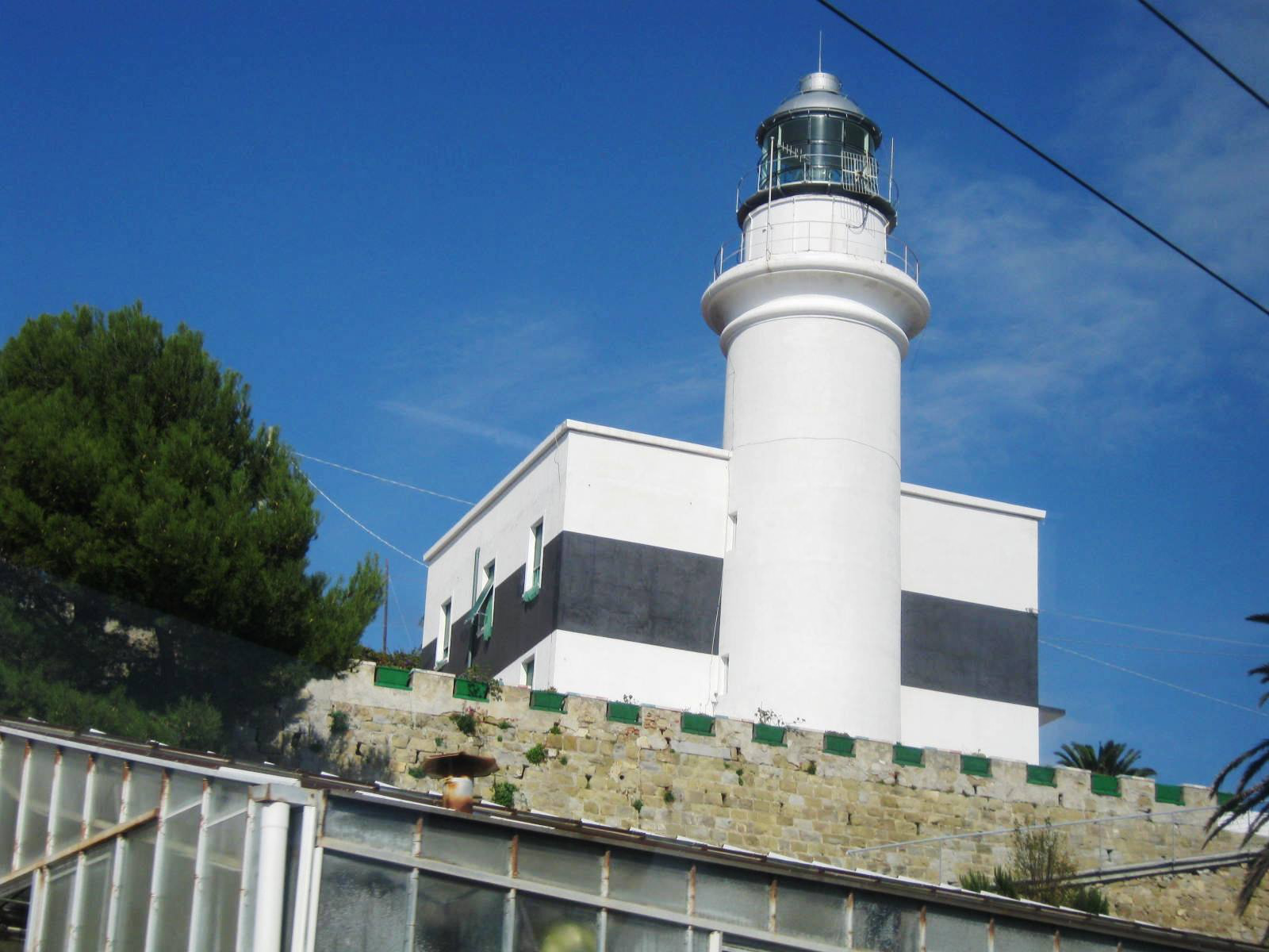
Photo corners
Capo dell'Arma Lighthouse
Taggia, Italy
Capo dell'Arma Lighthouse (Italian: Faro di Capo dell'Arma) is an active lighthouse in northwestern Italy. It is located on a cape near the village of Bussana in the comune of Sanremo, in the province of Imperia. It is the first lighthouse on the Ligurian coast, starting from the French border.
- Category
- Photo Spots
- Location
- Taggia, Italy
- Coordinates
- 43.81733, 7.83167
- How to get there
- Google MapsApple MapsOpenStreetMap
- Wikidata
- Q3739768
What is Capo dell'Arma Lighthouse?
Capo dell'Arma Lighthouse is a Photo Spots place on VeroMaps. Other places close by: Santa Brigida, San Mauro, Castello della Lucertola, Doria castle in Dolceacqua.
Where is Capo dell'Arma Lighthouse?
Capo dell'Arma Lighthouse is in Taggia, Italy. Coordinates: 43.81733, 7.83167.
How do I get to Capo dell'Arma Lighthouse?
Capo dell'Arma Lighthouse is at Taggia, Italy (43.81733, 7.83167). Enter these coordinates in Google Maps, Apple Maps or OpenStreetMap for walking, cycling or driving directions.