Hidden Secrets
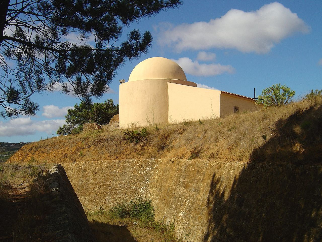
Capela e Forte de São Vicente
São Pedro e Matacães, Portugal
The Fort of São Vicente (St. Vincent) is in the town and municipality of Torres Vedras, in the Lisbon District of Portugal. In 1809 it was the first of 152 forts, redoubts and other defences to be developed as part of three defensive lines between the Atlantic Ocean and the River Tagus that were designed by the Duke of Wellington to protect the Portuguese capital, Lisbon, from possible invasion by French troops during the Peninsular War.
- Category
- Hidden Secrets
- Location
- São Pedro e Matacães, Portugal
- Address
- Santa Maria, São Pedro e Matacães
- Coordinates
- 39.10058, -9.26547
- How to get there
- Google MapsApple MapsOpenStreetMap
- Wikidata
- Q10284076
What is Capela e Forte de São Vicente?
Capela e Forte de São Vicente is a Hidden Secrets place on VeroMaps, on Santa Maria. Other places close by: Chafariz dos Canos, Tholos do Barro, Castle of Vila Verde dos Francos, Igreja da Misericórdia da Ericeira.
Where is Capela e Forte de São Vicente?
Capela e Forte de São Vicente is in São Pedro e Matacães, Portugal. Coordinates: 39.10058, -9.26547.
How do I get to Capela e Forte de São Vicente?
Capela e Forte de São Vicente is at Santa Maria, São Pedro e Matacães, Portugal (39.10058, -9.26547). Enter these coordinates in Google Maps, Apple Maps or OpenStreetMap for walking, cycling or driving directions.