Photo corners
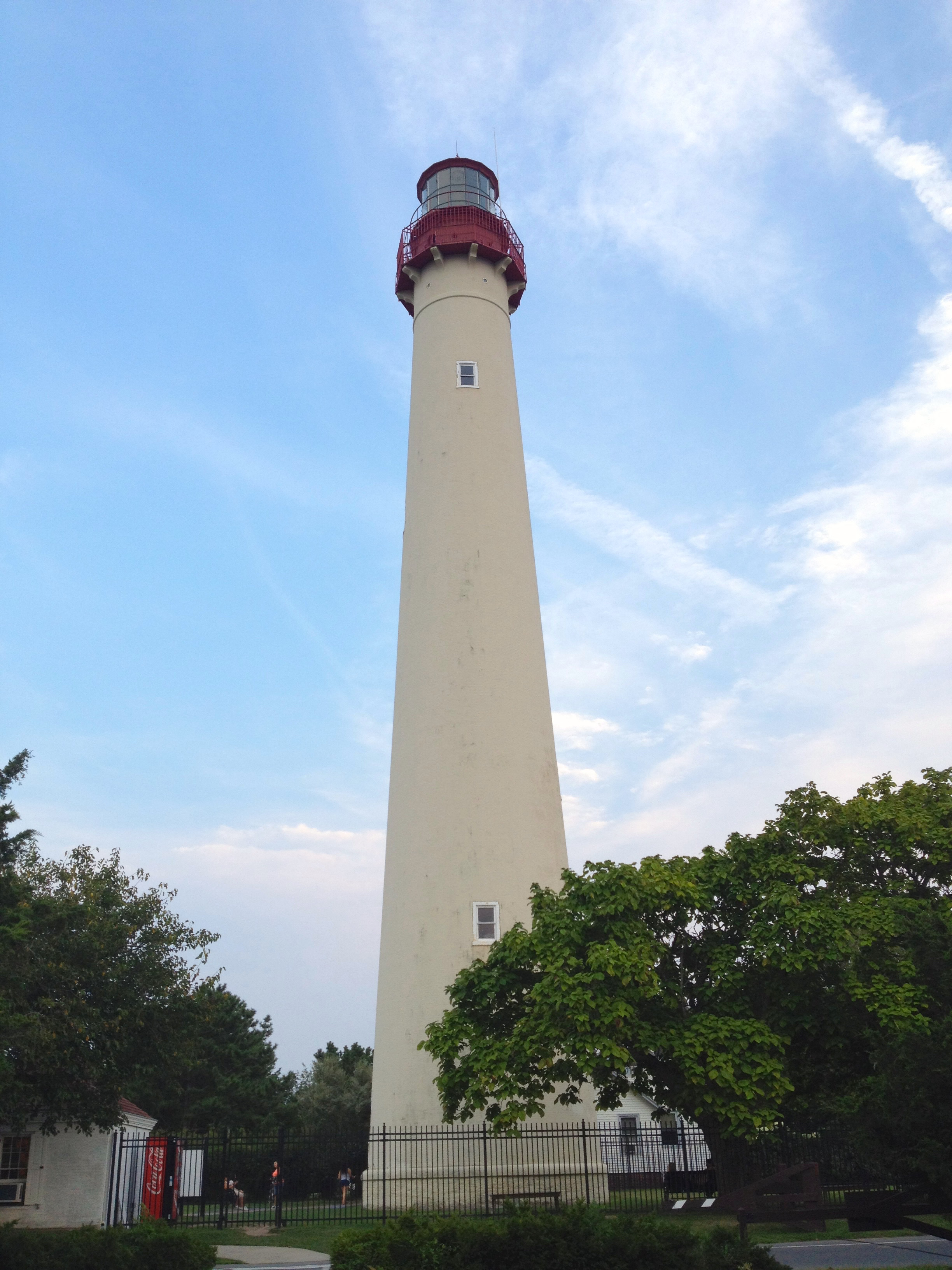
Cape May Lighthouse
Lower Township, United States
The Cape May Lighthouse is a lighthouse located in the U.S. state of New Jersey at the tip of Cape May, in Lower Township's Cape May Point State Park. It was built in 1859 under the supervision of U.S. Army engineer William F. Raynolds, was automated in 1946, and continues operation to this day. Cape May Lighthouse is the third fully documented lighthouse to be built at Cape May Point. The first was built in 1823 and the second in 1847. The exact locations of the first two lighthouses are now underwater due to erosion. There are 199 steps to the top of the Lighthouse. The view from the top extends to Cape May City and Wildwood to the north, Cape May Point to the south, and, on a clear day, Cape Henlopen, Delaware, to the west. Within immediate view are Cape May Cove and Battery 223, a harbor defense battery originally built during World War II. Cape May Lighthouse was added to the National Register of Historic Places on November 12, 1973. The Cape May Light is located in Lower Township, but is also a point of identity for Cape May Point as it uses the lighthouse as a logo for municipal-owned vehicles. Mayors of the two municipalities previously had a conflict over in which municipality it was located.
- Category
- Photo Spots
- Location
- Lower Township, United States
- Coordinates
- 38.93300, -74.96042
- How to get there
- Google MapsApple MapsOpenStreetMap
- Wikidata
- Q5034933
What is Cape May Lighthouse?
Cape May Lighthouse is a Photo Spots place on VeroMaps. Other places close by: Cold Spring Grange Hall, The Flanders Hotel, Trump World's Fair, Trump Plaza Hotel and Casino.
Where is Cape May Lighthouse?
Cape May Lighthouse is in Lower Township, United States. Coordinates: 38.93300, -74.96042.
How do I get to Cape May Lighthouse?
Cape May Lighthouse is at Lower Township, United States (38.93300, -74.96042). Enter these coordinates in Google Maps, Apple Maps or OpenStreetMap for walking, cycling or driving directions.