Photo corners
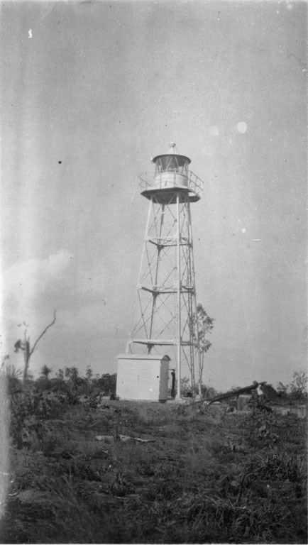
Cape Hotham Light
Northern Territory, Australia
Cape Hotham Light is an active lighthouse in the Northern Territory of Australia located on Cape Hotham on the coastline of the Van Diemen Gulf about 80 kilometres (50 mi) northeast of the territory capital of Darwin, The lighthouse marks the entrance to Clarence Strait, the eastern approach to Darwin. The lighthouse was constructed by the Commonwealth Lighthouse Service during the "Golden Age of Australian Lighthouses", between 1913 and 1920. The light characteristic shown is three flashes, one every two seconds, repeating every 15 seconds (Fl.(3)W.R. 15s). The colour is red on 025°-070° and white elsewhere. The red light is visible for 9 nautical miles (17 km; 10 mi) while the white light is visible for 12 nautical miles (22 km; 14 mi). The site is accessible by boat from Darwin, but the tower is closed to the public. The light is operated by the Australian Maritime Safety Authority.
- Category
- Photo Spots
- Location
- Northern Territory, Australia
- Coordinates
- -12.04640, 131.29000
- How to get there
- Google MapsApple MapsOpenStreetMap
- Wikidata
- Q5034870
What is Cape Hotham Light?
Cape Hotham Light is a Photo Spots place on VeroMaps. Other places close by: Humpty Doo Hotel, Cape Don Light.
Where is Cape Hotham Light?
Cape Hotham Light is in Northern Territory, Australia. Coordinates: -12.04640, 131.29000.
How do I get to Cape Hotham Light?
Cape Hotham Light is at Northern Territory, Australia (-12.04640, 131.29000). Enter these coordinates in Google Maps, Apple Maps or OpenStreetMap for walking, cycling or driving directions.