Urbex & Abandoned
Cape Cornwall Mine
United Kingdom
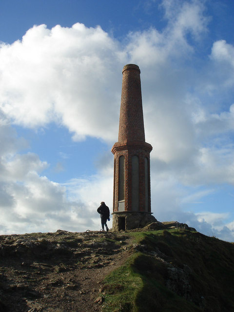
Cape Cornwall Mine was a tin mine on Cape Cornwall, a cape at the western tip of Cornwall, England, United Kingdom. It operated intermittently between 1838 and 1883, after which time it closed permanently and the engine house was demolished.
- Category
- Urbex & Abandoned
- Location
- United Kingdom
- Coordinates
- 50.12690, -5.70917
- How to get there
- Google MapsApple MapsOpenStreetMap
- Wikidata
- Q5034735
What is Cape Cornwall Mine?
Cape Cornwall Mine is a Urbex & Abandoned place on VeroMaps. Other places close by: Wheal Owles, Levant Mine and Beam Engine, Geevor Tin Mine, Pendeen Lighthouse.
Where is Cape Cornwall Mine?
Cape Cornwall Mine is in United Kingdom. Coordinates: 50.12690, -5.70917.
How do I get to Cape Cornwall Mine?
Cape Cornwall Mine is at United Kingdom (50.12690, -5.70917). Enter these coordinates in Google Maps, Apple Maps or OpenStreetMap for walking, cycling or driving directions.