Photo corners
Cape Canaveral Light
Brevard County, United States
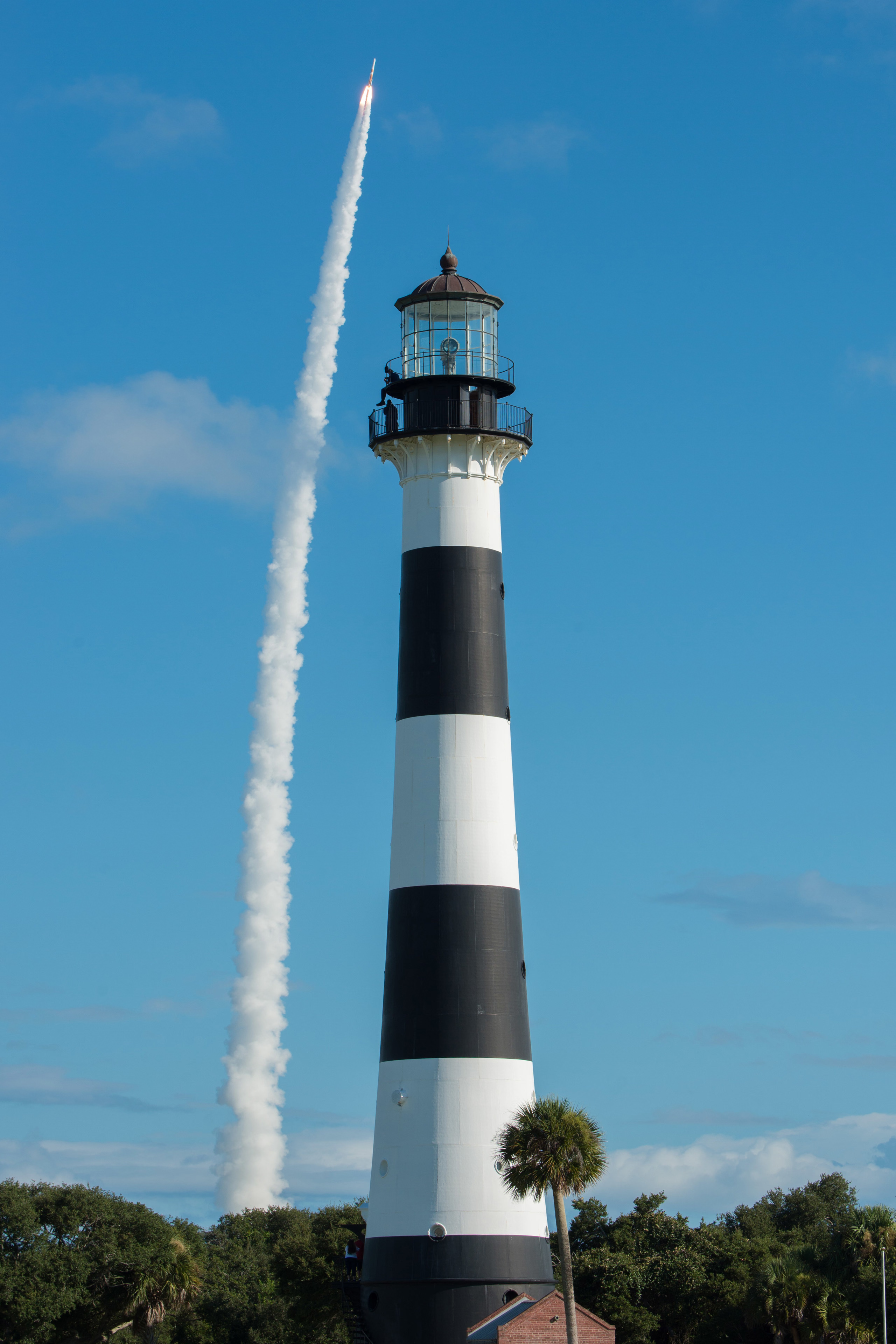
The Cape Canaveral Light is a historic lighthouse on the east coast of the U.S. state of Florida. The light was established in 1848 to warn ships of the dangerous shoals that lie off its coast. It is located inside the Cape Canaveral Space Force Station and managed by the Space Launch Delta 45 of the U.S. Space Force with the assistance of the Cape Canaveral Lighthouse Foundation. It is the only fully operational lighthouse owned by the United States Space Force. The United States Coast Guard currently maintain the light as an active navigation aid. The current 151-foot (46 m) lighthouse tower was first erected and lit in 1868 then relocated further inland between 1893 and 1894. It was originally equipped with a first-order Fresnel lens that was automated in 1967 and then retired from the tower in 1993.
- Category
- Photo Spots
- Location
- Brevard County, United States
- Coordinates
- 28.46035, -80.54345
- How to get there
- Google MapsApple MapsOpenStreetMap
- Wikidata
- Q5034639
What is Cape Canaveral Light?
Cape Canaveral Light is a Photo Spots place on VeroMaps. Other places close by: New Smyrna Sugar Mill Ruins, Ponce de Leon Inlet Light, Disney's Vero Beach Resort, The Plaza Live.
Where is Cape Canaveral Light?
Cape Canaveral Light is in Brevard County, United States. Coordinates: 28.46035, -80.54345.
How do I get to Cape Canaveral Light?
Cape Canaveral Light is at Brevard County, United States (28.46035, -80.54345). Enter these coordinates in Google Maps, Apple Maps or OpenStreetMap for walking, cycling or driving directions.