Hidden Secrets
Cambridge University Botanic Garden
Cambridge, United Kingdom
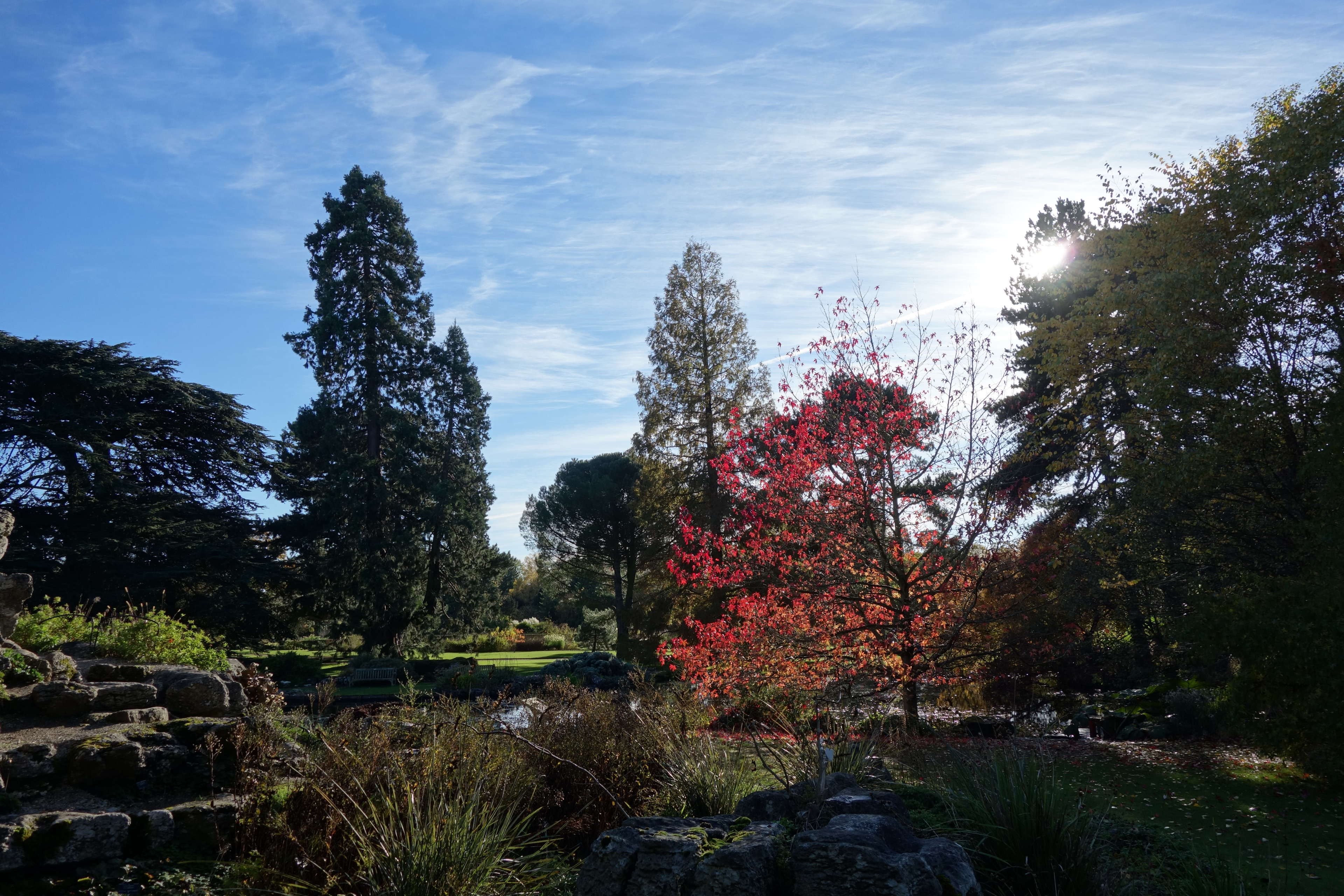
The Cambridge University Botanic Garden is a botanical garden located in Cambridge, England, associated with the university Department of Plant Sciences (formerly Botany School). It lies between Trumpington Road to the west, Bateman Street to the north and Hills Road to the east. The garden covers an area of 16 hectares (40 acres). The site is almost entirely on level ground and in addition to its scientific value, the garden is highly rated by gardening enthusiasts. It holds a plant collection of over 8,000 plant species from all over the world to facilitate teaching and research. The garden was created for the University of Cambridge in 1831 by Professor John Stevens Henslow (Charles Darwin's mentor) and was opened to the public in 1846. The second-highest temperature recorded in the UK, 38.7 °C (101.7 °F), was recorded on 25 July 2019 at the garden. The garden held this record for four years until it was broken in 2022, when 40.3 °C (104.5 °F) was recorded in Coningsby, Lincolnshire on 19 July of that year. On this day, the garden broke its own record, reaching 39.9 °C (103.8 °F).
- Category
- Hidden Secrets
- Location
- Cambridge, United Kingdom
- Coordinates
- 52.19380, 0.12789
- How to get there
- Google MapsApple MapsOpenStreetMap
- Wikidata
- Q894665
What is Cambridge University Botanic Garden?
Cambridge University Botanic Garden is a Hidden Secrets place on VeroMaps. Other places close by: The Flying Pig, Panton Arms, Cambridge Junction, Downing Site.
Where is Cambridge University Botanic Garden?
Cambridge University Botanic Garden is in Cambridge, United Kingdom. Coordinates: 52.19380, 0.12789.
How do I get to Cambridge University Botanic Garden?
Cambridge University Botanic Garden is at Cambridge, United Kingdom (52.19380, 0.12789). Enter these coordinates in Google Maps, Apple Maps or OpenStreetMap for walking, cycling or driving directions.