Forgotten History
Cahir Castle
Cahir, Ireland
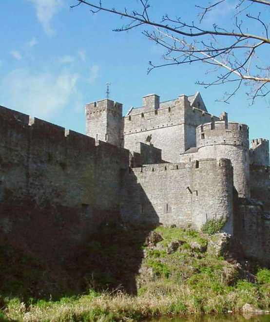
Cahir Castle (Irish: Caisleán na Cathrach), one of the largest castles in Ireland, is sited on an island in the river Suir. It was built from 1142 by Conchobar Ua Briain, King of Thomond. Now situated in Cahir town centre, County Tipperary, the castle is well preserved and has guided tour and audiovisual shows in multiple languages.
- Category
- Forgotten History
- Location
- Cahir, Ireland
- Coordinates
- 52.37455, -7.92719
- How to get there
- Google MapsApple MapsOpenStreetMap
- Wikidata
- Q764573
What is Cahir Castle?
Cahir Castle is a Forgotten History place on VeroMaps. Other places close by: Ardfinnan Castle, Cashel Palace Hotel, Chez Hans, Rock of Cashel.
Where is Cahir Castle?
Cahir Castle is in Cahir, Ireland. Coordinates: 52.37455, -7.92719.
How do I get to Cahir Castle?
Cahir Castle is at Cahir, Ireland (52.37455, -7.92719). Enter these coordinates in Google Maps, Apple Maps or OpenStreetMap for walking, cycling or driving directions.