Forgotten History
Burgstall Ramberg
Neunburg vorm Wald, Germany
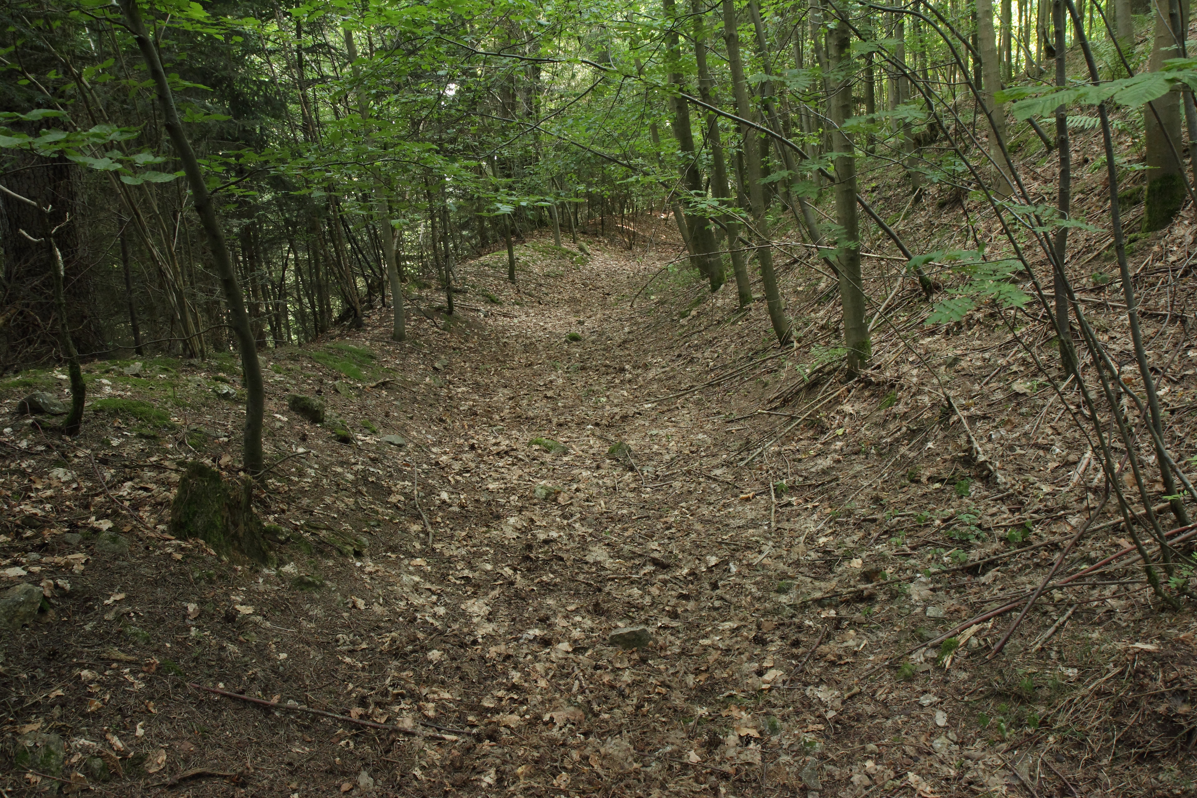
The Ramberg castle stable, also called Randenberg, is a derelict summit castle on the hilltop of the Ramberg above the Auerbachtal. It is located around 1,560 meters north-northeast of the Catholic branch church of St. Peter and Paul in the Fuhrn district of the town of Neunburg vorm Wald in the Schwandorf district in Bavaria. Only a ring wall and a ring moat have been preserved from the complex; the site is protected as an archaeological monument number D-3-6639-0015: Medieval castle stables.
- Category
- Forgotten History
- Location
- Neunburg vorm Wald, Germany
- Coordinates
- 49.35630, 12.28880
- How to get there
- Google MapsApple MapsOpenStreetMap
- Wikidata
- Q1015875
What is Burgstall Ramberg?
Burgstall Ramberg is a Forgotten History place on VeroMaps. Other places close by: Burgruine Zangenstein, Ehemaliger Steinbruch im Pingartener Porphyr, Franziskus-Marterl, Burgstall Warberg.
Where is Burgstall Ramberg?
Burgstall Ramberg is in Neunburg vorm Wald, Germany. Coordinates: 49.35630, 12.28880.
How do I get to Burgstall Ramberg?
Burgstall Ramberg is at Neunburg vorm Wald, Germany (49.35630, 12.28880). Enter these coordinates in Google Maps, Apple Maps or OpenStreetMap for walking, cycling or driving directions.