Urbex & Abandoned
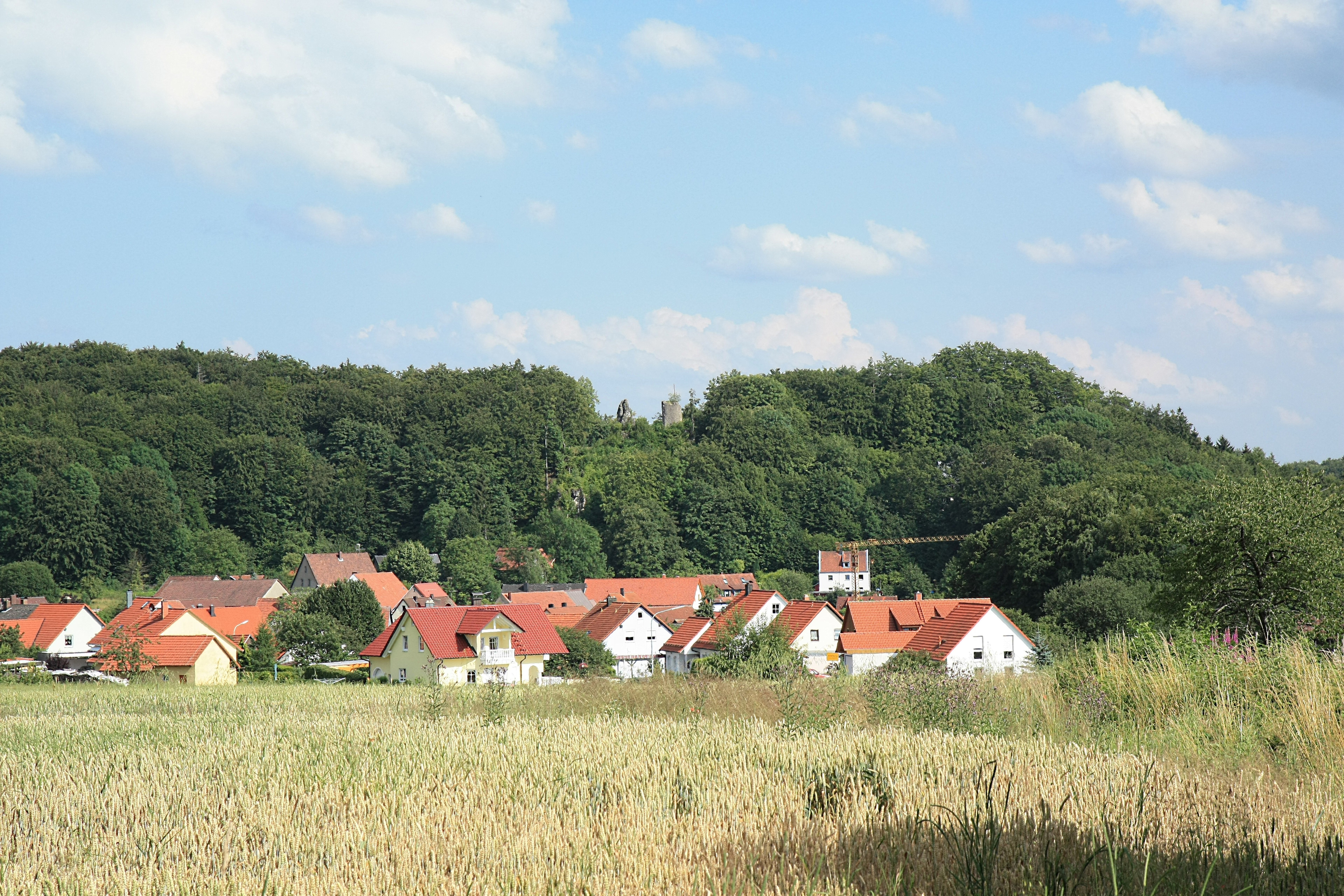
Burgruine Stierberg
Obertrubach, Germany
Die Burgruine Stierberg war eine hochmittelalterliche Adelsburg über dem Dorf Stierberg, einem westlichen Stadtteil von Betzenstein im oberfränkischen Landkreis Bayreuth in Bayern. Die Oberburg der Ruine ist frei zugänglich, ein großer Teil der Unterburg ist in Privatbesitz der Familie Thilo Glas aus Erlangen und kann nicht betreten werden.
- Category
- Urbex & Abandoned
- Location
- Obertrubach, Germany
- Coordinates
- 49.67750, 11.38800
- How to get there
- Google MapsApple MapsOpenStreetMap
- Wikidata
- Q1015532
What is Burgruine Stierberg?
Burgruine Stierberg is a Urbex & Abandoned place on VeroMaps. Other places close by: Burg Betzenstein, Großer Wasserstein, Wildenfels Castle, Burgruine.
Where is Burgruine Stierberg?
Burgruine Stierberg is in Obertrubach, Germany. Coordinates: 49.67750, 11.38800.
How do I get to Burgruine Stierberg?
Burgruine Stierberg is at Obertrubach, Germany (49.67750, 11.38800). Enter these coordinates in Google Maps, Apple Maps or OpenStreetMap for walking, cycling or driving directions.