Urbex & Abandoned
Burgruine Stauf
Germany
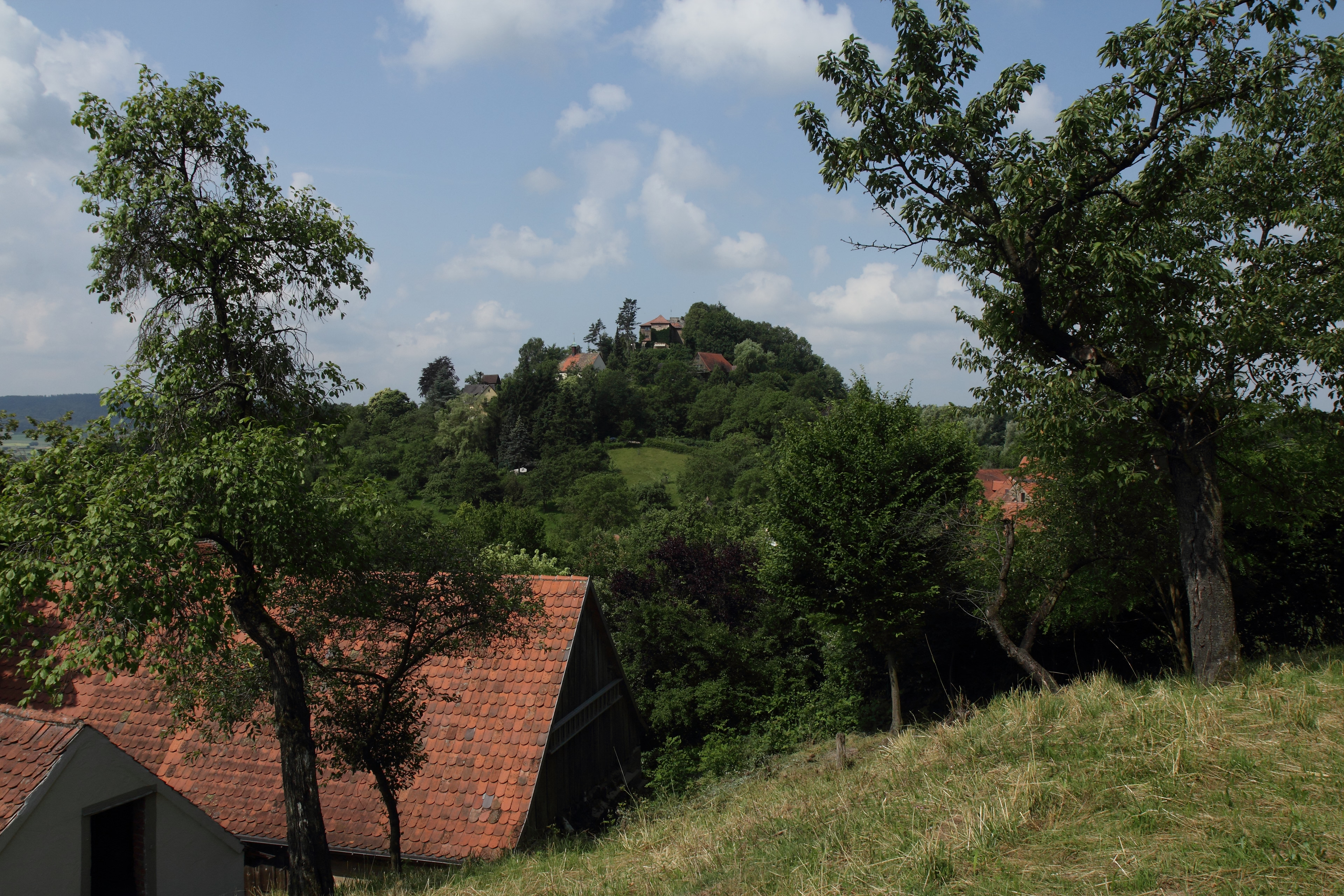
Die Burgruine Stauf ist die Ruine einer Höhenburg auf dem 535 Meter hohen Bergkegel Burgberg über dem Gemeindeteil Stauf des Marktes Thalmässing im mittelfränkischen Landkreis Roth in Bayern.
- Category
- Urbex & Abandoned
- Location
- Germany
- Address
- Stauf 2
- Coordinates
- 49.11609, 11.20877
- How to get there
- Google MapsApple MapsOpenStreetMap
- Wikidata
- Q1015527
What is Burgruine Stauf?
Burgruine Stauf is a Urbex & Abandoned place on VeroMaps, on Stauf 2. Other places close by: Burg Bechthal, Steinbrüche von Wernsbach, Cultural heritage D-5-6933-0047 in Greding, Brunneck Castle.
Where is Burgruine Stauf?
Burgruine Stauf is in Germany. Coordinates: 49.11609, 11.20877.
How do I get to Burgruine Stauf?
Burgruine Stauf is at Stauf 2, Germany (49.11609, 11.20877). Enter these coordinates in Google Maps, Apple Maps or OpenStreetMap for walking, cycling or driving directions.