Urbex & Abandoned
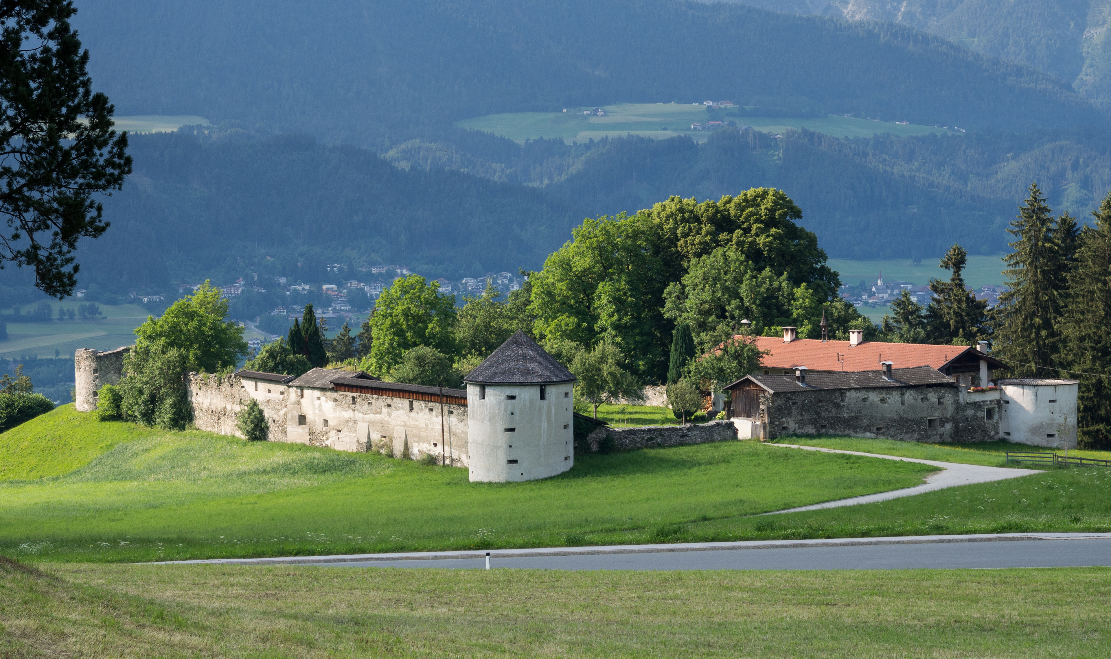
Burgruine Neu-Rettenberg
Austria
Die Burgruine Neu-Rettenberg ist die Ruine einer Höhenburg auf einer kleinen Anhöhe in der Gemeinde Kolsassberg im Bezirk Innsbruck-Land von Tirol (Florian-Waldauf-Weg).
- Category
- Urbex & Abandoned
- Location
- Austria
- Address
- Florian-Waldauf-Weg 1
- Coordinates
- 47.29391, 11.64470
- How to get there
- Google MapsApple MapsOpenStreetMap
- Wikidata
- Q16054783
What is Burgruine Neu-Rettenberg?
Burgruine Neu-Rettenberg is a Urbex & Abandoned place on VeroMaps, on Florian-Waldauf-Weg 1. Other places close by: Kapelle Pillberg, Burg Freundsberg, Burgruine Thaur, Bierstindl.
Where is Burgruine Neu-Rettenberg?
Burgruine Neu-Rettenberg is in Austria. Coordinates: 47.29391, 11.64470.
How do I get to Burgruine Neu-Rettenberg?
Burgruine Neu-Rettenberg is at Florian-Waldauf-Weg 1, Austria (47.29391, 11.64470). Enter these coordinates in Google Maps, Apple Maps or OpenStreetMap for walking, cycling or driving directions.