Urbex & Abandoned
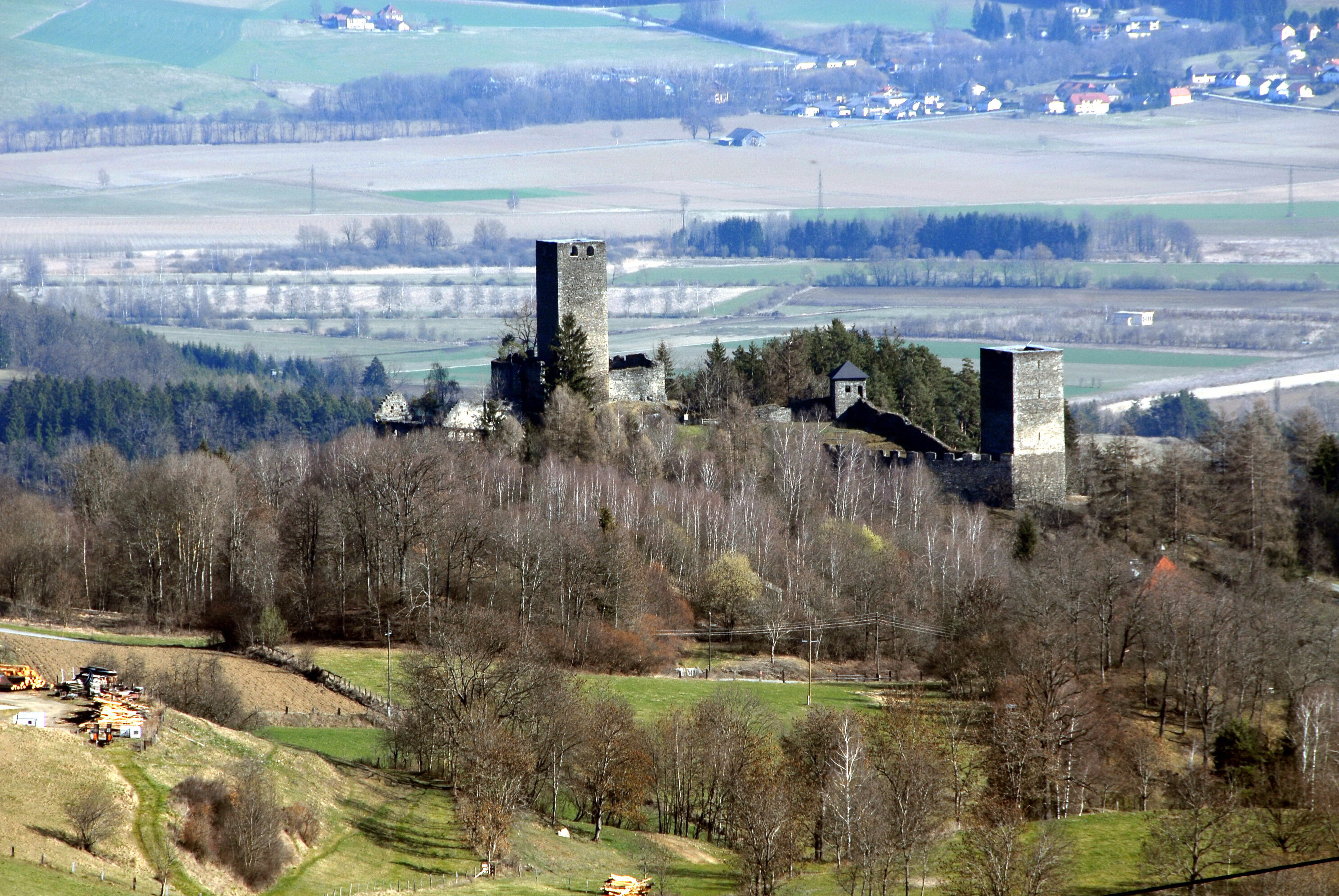
Burgruine Liebenfels
Liebenfels, Austria
Burgruine Liebenfels is a pair of castle ruins on a rocky hilltop northeast of the municipality of Liebenfels in the district of Sankt Veit an der Glan, the historical central area of Carinthia, Austria. The surviving structures include examples of Romanesque, Gothic and Renaissance architecture.
- Category
- Urbex & Abandoned
- Location
- Liebenfels, Austria
- Address
- Hoch-Liebenfels 24, Liebenfels
- Coordinates
- 46.75440, 14.28170
- How to get there
- Google MapsApple MapsOpenStreetMap
- Wikidata
- Q1015404
What is Burgruine Liebenfels?
Burgruine Liebenfels is a Urbex & Abandoned place on VeroMaps, on Hoch-Liebenfels 24. Other places close by: Burgruine Gradenegg, Burg Karlsberg, Ruine Schaumburg, Burgruine Hardegg.
Where is Burgruine Liebenfels?
Burgruine Liebenfels is in Liebenfels, Austria. Coordinates: 46.75440, 14.28170.
How do I get to Burgruine Liebenfels?
Burgruine Liebenfels is at Hoch-Liebenfels 24, Liebenfels, Austria (46.75440, 14.28170). Enter these coordinates in Google Maps, Apple Maps or OpenStreetMap for walking, cycling or driving directions.