Forgotten History
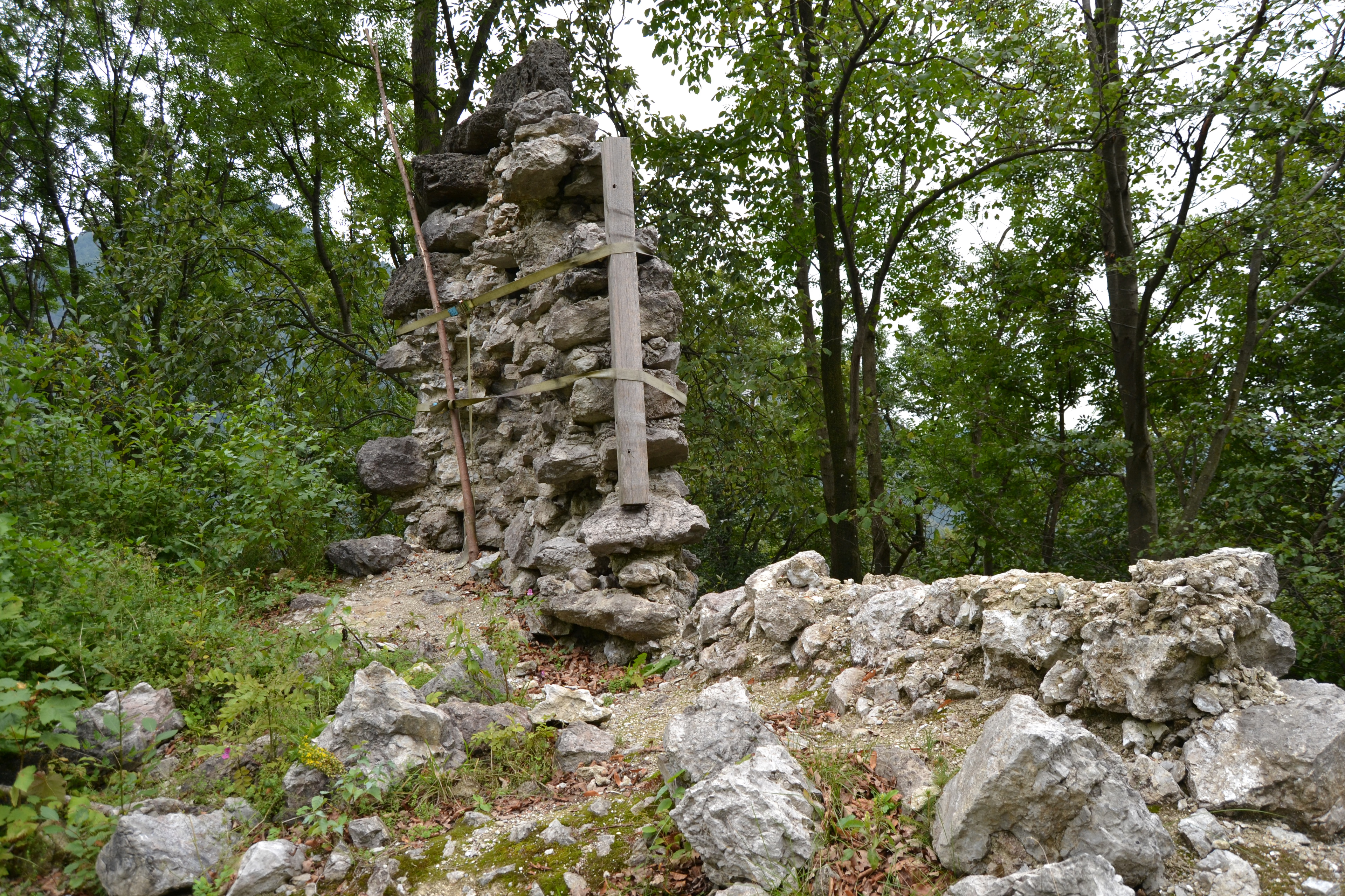
Burgruine Kirnstein
Ruine Kirnstein, Germany
Kirnstein Castle is the ruins of a spur castle at 520 m above sea level. The castle is located on the eastern slope of the Wildbarren in the Inn Valley south of Kirnstein in what is now the municipality of Flintsbach am Inn in the Rosenheim district in Bavaria. The facility is listed as a listed building in Kirnstein under file number D-1-87-131-31.
- Category
- Forgotten History
- Location
- Ruine Kirnstein, Germany
- Coordinates
- 47.69140, 12.15390
- How to get there
- Google MapsApple MapsOpenStreetMap
- Wikidata
- Q1012670
What is Burgruine Kirnstein?
Burgruine Kirnstein is a Forgotten History place on VeroMaps. Other places close by: Burgruine Katzenstein, Erl, Burg Unter-Falkenstein, Hofkapelle Schweinsteig, Auerburg.
Where is Burgruine Kirnstein?
Burgruine Kirnstein is in Ruine Kirnstein, Germany. Coordinates: 47.69140, 12.15390.
How do I get to Burgruine Kirnstein?
Burgruine Kirnstein is at Ruine Kirnstein, Germany (47.69140, 12.15390). Enter these coordinates in Google Maps, Apple Maps or OpenStreetMap for walking, cycling or driving directions.