Photo corners
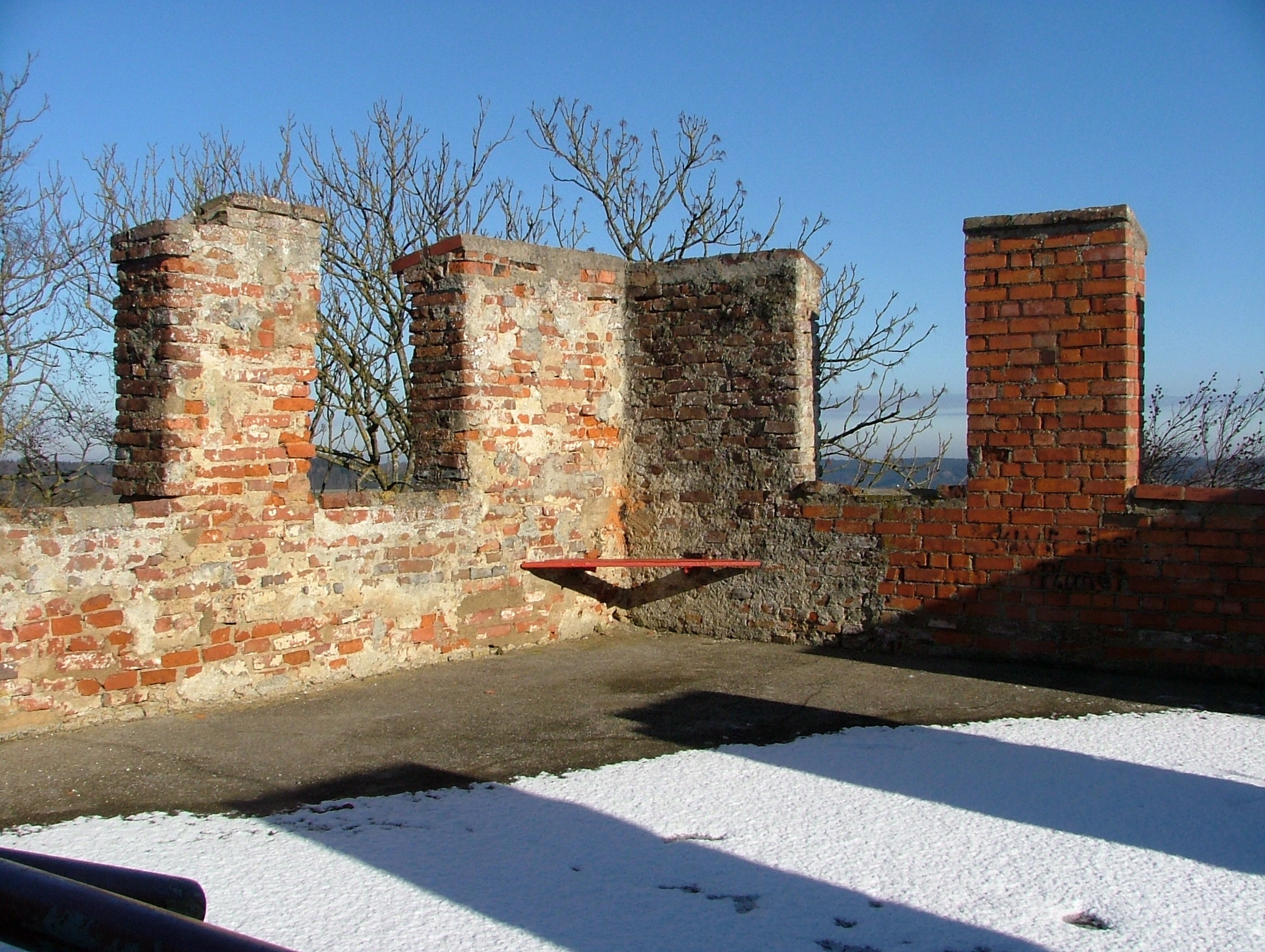
Burgruine Altenschönegg
Beim Römerturm, Germany
Die Burgruine Altenschönegg, auch Alten-Schönegg, Altschönegg, Oberschönegg, Schönegg und heute Römerturm genannt, ist die Ruine einer Niederungsburg am Ortsausgang der Gemeinde Oberschönegg in Richtung Babenhausen im schwäbischen Landkreis Unterallgäu in Bayern.
- Category
- Photo Spots
- Location
- Beim Römerturm, Germany
- Coordinates
- 48.10749, 10.29606
- How to get there
- Google MapsApple MapsOpenStreetMap
- Wikidata
- Q1015235
What is Burgruine Altenschönegg?
Burgruine Altenschönegg is a Photo Spots place on VeroMaps. Other places close by: Kreuzkapelle, Schloss Frickenhausen, Kerkerkapelle, Feldkapelle.
Where is Burgruine Altenschönegg?
Burgruine Altenschönegg is in Beim Römerturm, Germany. Coordinates: 48.10749, 10.29606.
How do I get to Burgruine Altenschönegg?
Burgruine Altenschönegg is at Beim Römerturm, Germany (48.10749, 10.29606). Enter these coordinates in Google Maps, Apple Maps or OpenStreetMap for walking, cycling or driving directions.