Forgotten History
Burg Spaltfels, Beuron
Irndorf, Germany
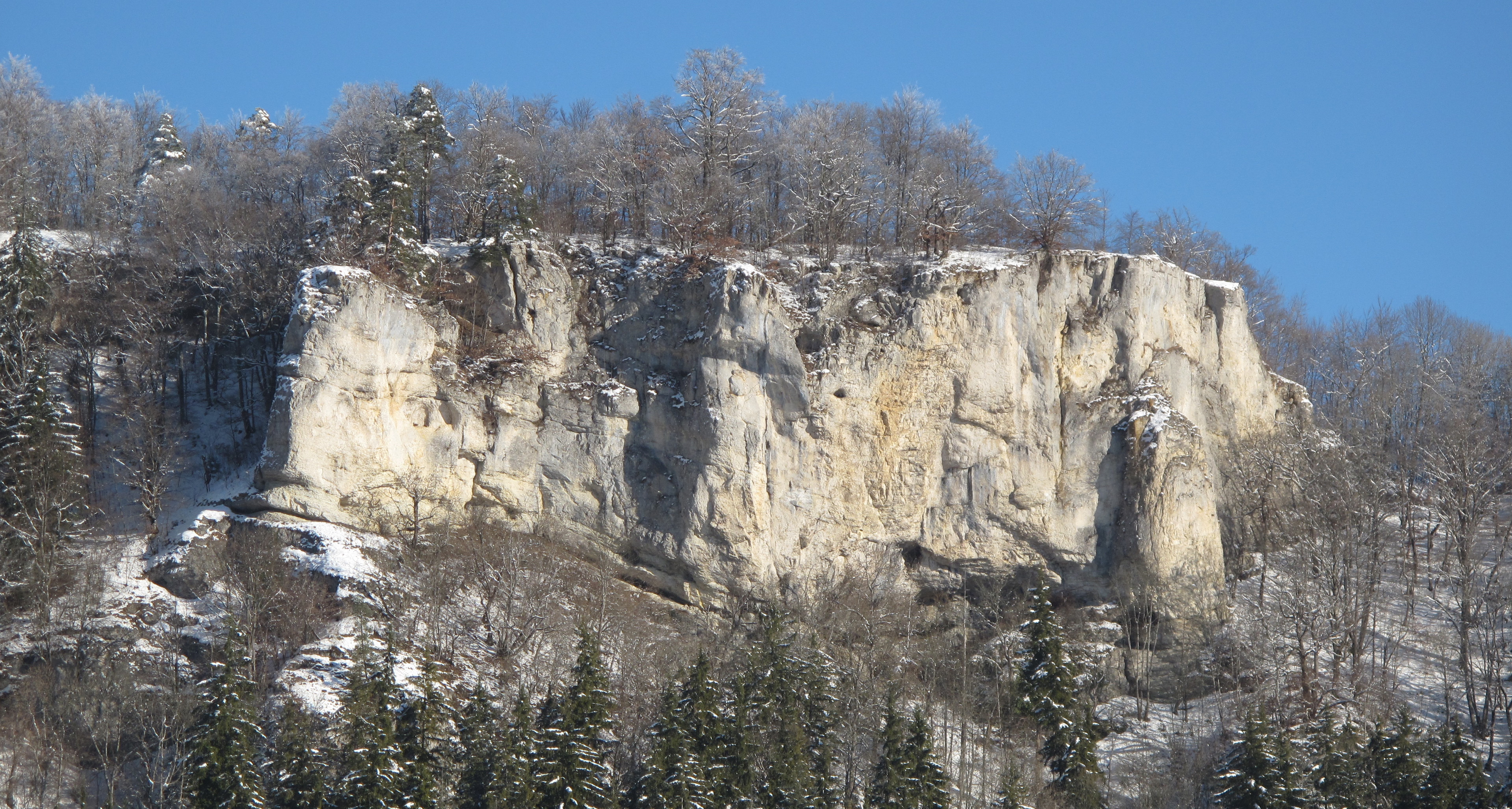
Spaltfels Castle is a derelict spur castle at the beginning of a long, rugged rocky ridge, the Spaltfelsen, at 750 m above sea level. NN high above the Danube approximately 1200 meters south of the community of Irndorf in the Tuttlingen district in Baden-Württemberg.
- Category
- Forgotten History
- Location
- Irndorf, Germany
- Coordinates
- 48.05550, 8.97490
- How to get there
- Google MapsApple MapsOpenStreetMap
- Wikidata
- Q1014021
What is Burg Spaltfels, Beuron?
Burg Spaltfels, Beuron is a Forgotten History place on VeroMaps. Other places close by: Beuron Archabbey, Rote-Brunnen-Höhle, Burg Altwildenstein, Donautal, Wildensteiner Burg Unterwildenstein, Donautal.
Where is Burg Spaltfels, Beuron?
Burg Spaltfels, Beuron is in Irndorf, Germany. Coordinates: 48.05550, 8.97490.
How do I get to Burg Spaltfels, Beuron?
Burg Spaltfels, Beuron is at Irndorf, Germany (48.05550, 8.97490). Enter these coordinates in Google Maps, Apple Maps or OpenStreetMap for walking, cycling or driving directions.