Forgotten History
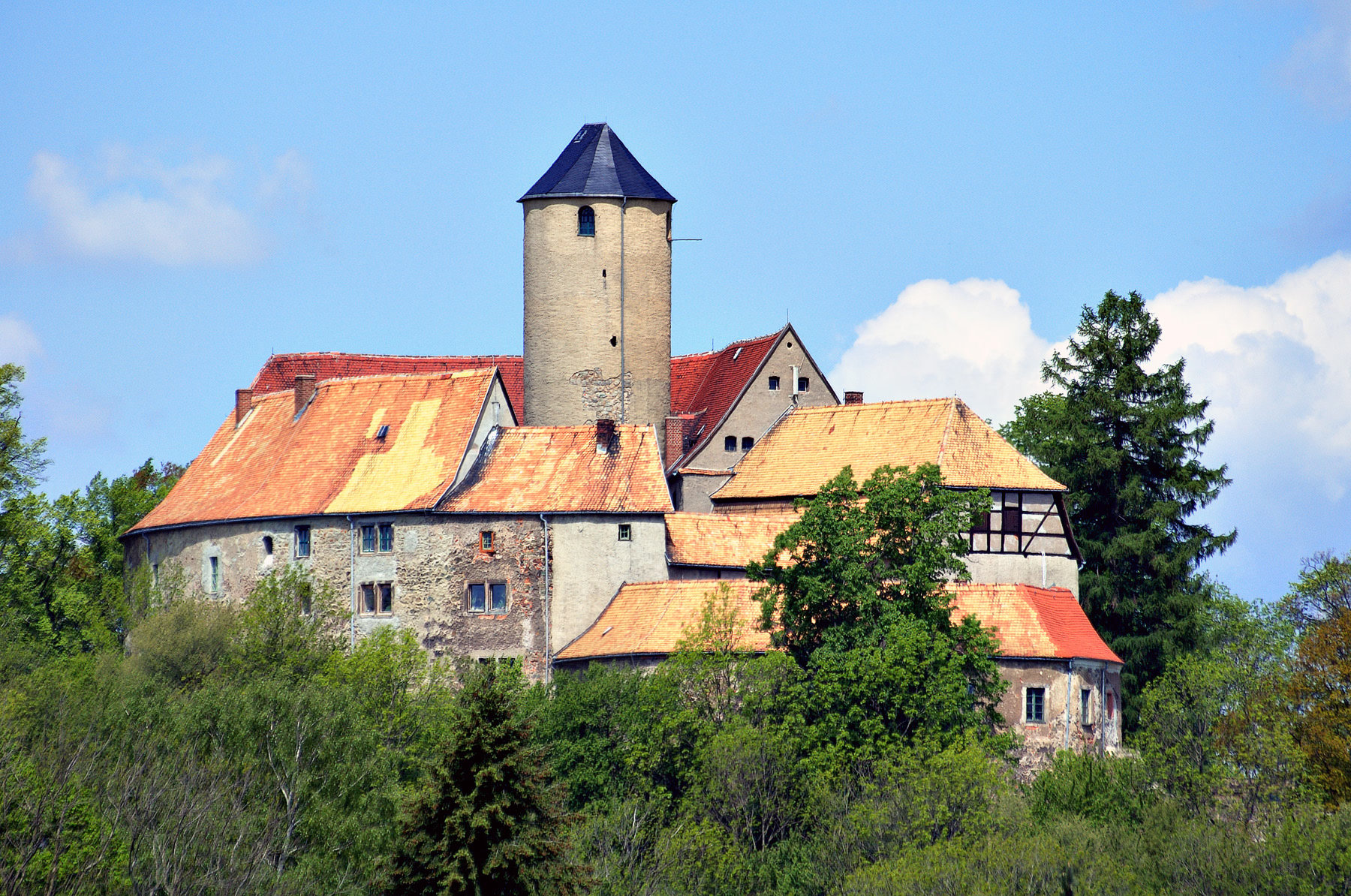
Burg Schönfels
Lichtentanne, Germany
Schönfels Castle is a typical hilltop castle at 393 m above sea level. NN in the Schönfels district of the municipality of Lichtentanne in the Saxon district of Zwickau. It was built on a rocky spur made of diabase rock in the 12th century as the center of a medieval colonization and feudal seat. In the 15th and 16th centuries the castle was redesigned in the late Gothic and Renaissance styles.
- Category
- Forgotten History
- Location
- Lichtentanne, Germany
- Coordinates
- 50.67560, 12.40080
- How to get there
- Google MapsApple MapsOpenStreetMap
- Wikidata
- Q1013968
What is Burg Schönfels?
Burg Schönfels is a Forgotten History place on VeroMaps. Other places close by: Osterstein Castle, Schloss Lauterbach, Mylau Castle, Burg Plohn.
Where is Burg Schönfels?
Burg Schönfels is in Lichtentanne, Germany. Coordinates: 50.67560, 12.40080.
How do I get to Burg Schönfels?
Burg Schönfels is at Lichtentanne, Germany (50.67560, 12.40080). Enter these coordinates in Google Maps, Apple Maps or OpenStreetMap for walking, cycling or driving directions.