Forgotten History
Burg Reuschenberg
Bergheim, Germany
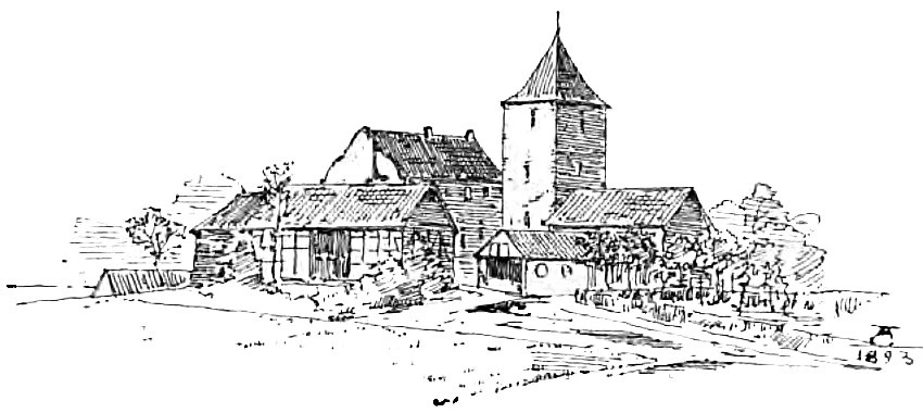
Reuschenberg Castle was a moated castle southwest of the Rhenish town of Elsdorf in the Rhein-Erft district in North Rhine-Westphalia. Its roots lay in a high medieval motte, which was later replaced by a stone fortification. The Lords of Reuschenberg owned the castle for centuries before it came into civil ownership in the first quarter of the 19th century. The facility was demolished in 1998 as part of the Hambach I open-cast brown coal mine.
- Category
- Forgotten History
- Location
- Bergheim, Germany
- Coordinates
- 50.92418, 6.54243
- How to get there
- Google MapsApple MapsOpenStreetMap
- Wikidata
- Q15790363
What is Burg Reuschenberg?
Burg Reuschenberg is a Forgotten History place on VeroMaps. Other places close by: Etzweiler, Union 103 Mine, Schloss Paffendorf, Burg Niederzier.
Where is Burg Reuschenberg?
Burg Reuschenberg is in Bergheim, Germany. Coordinates: 50.92418, 6.54243.
How do I get to Burg Reuschenberg?
Burg Reuschenberg is at Bergheim, Germany (50.92418, 6.54243). Enter these coordinates in Google Maps, Apple Maps or OpenStreetMap for walking, cycling or driving directions.