Forgotten History
Burg Randeck
In Randeck, Germany
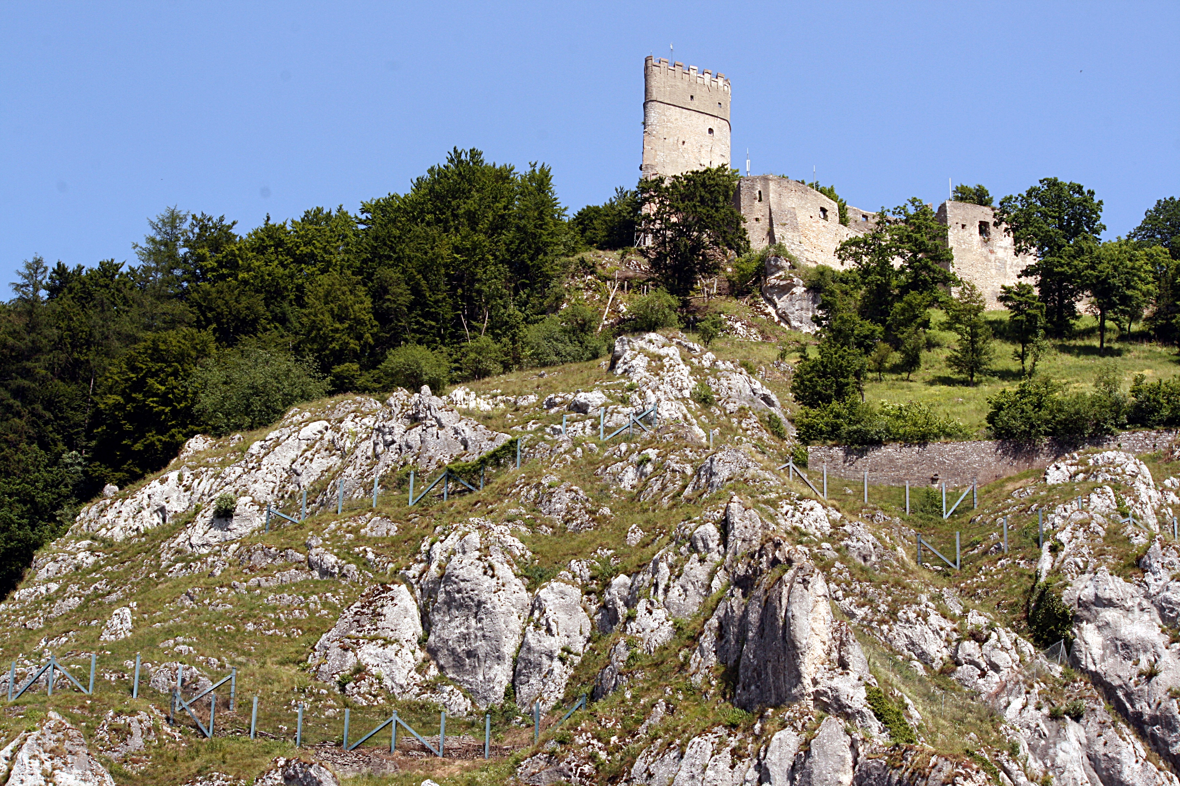
Randeck Castle is the ruins of a hilltop castle at 490 m above sea level. NN on the northern edge of the Altmühl valley on a rocky outcrop above the Essing market in the Lower Bavarian district of Kelheim in Bavaria. The complex is listed as a ground monument under file number D-2-7036-0182 in the Bavarian Atlas as a “tower hill of the high or late Middle Ages (“Schloßberg”). It is also listed as a listed monument of Randeck under file number D-2-73-121-16.
- Category
- Forgotten History
- Location
- In Randeck, Germany
- Coordinates
- 48.93796, 11.78953
- How to get there
- Google MapsApple MapsOpenStreetMap
- Wikidata
- Q1013577
What is Burg Randeck?
Burg Randeck is a Forgotten History place on VeroMaps. Other places close by: Klausenhöhle, Prunn Castle, Weltenburg Abbey, Frauenbergkapelle.
Where is Burg Randeck?
Burg Randeck is in In Randeck, Germany. Coordinates: 48.93796, 11.78953.
How do I get to Burg Randeck?
Burg Randeck is at In Randeck, Germany (48.93796, 11.78953). Enter these coordinates in Google Maps, Apple Maps or OpenStreetMap for walking, cycling or driving directions.